![[Retire Early]](retire.gif)
| ............. |
This article was posted on November 15, 2010. Navigation Picture 1: The red line shows the diversion due to the evacuation of a stricken passenger by the US Coast Guard. 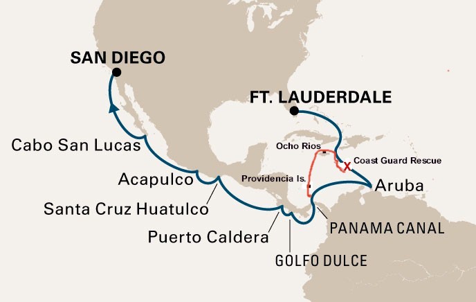 Pictures 2 through 5: Acapulco looked like it had seen better days. I walked along the main drag on the waterfront for a couple of miles in the morning before it got hot. Security was pretty visible, with several police carrying machine guns. 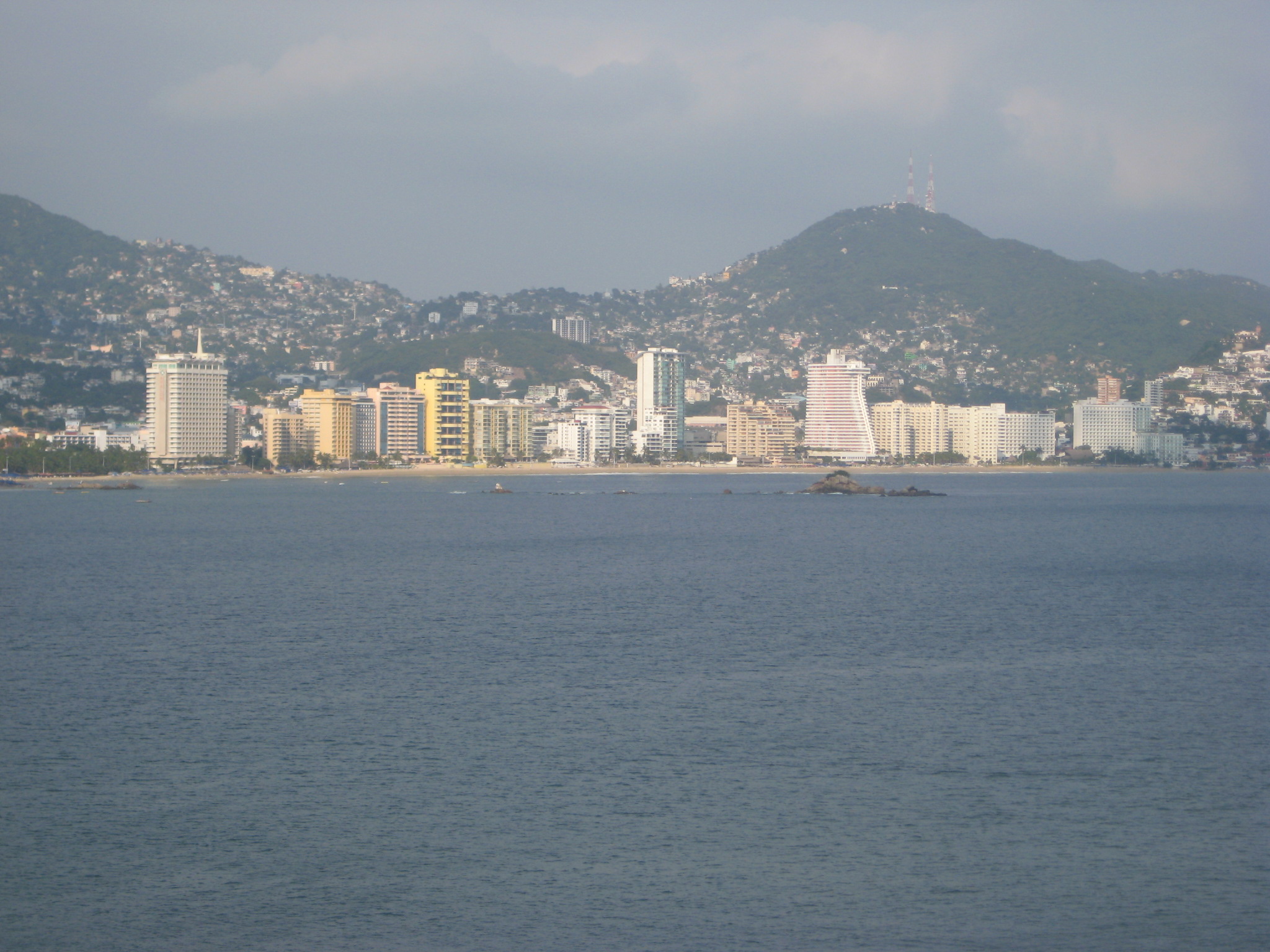 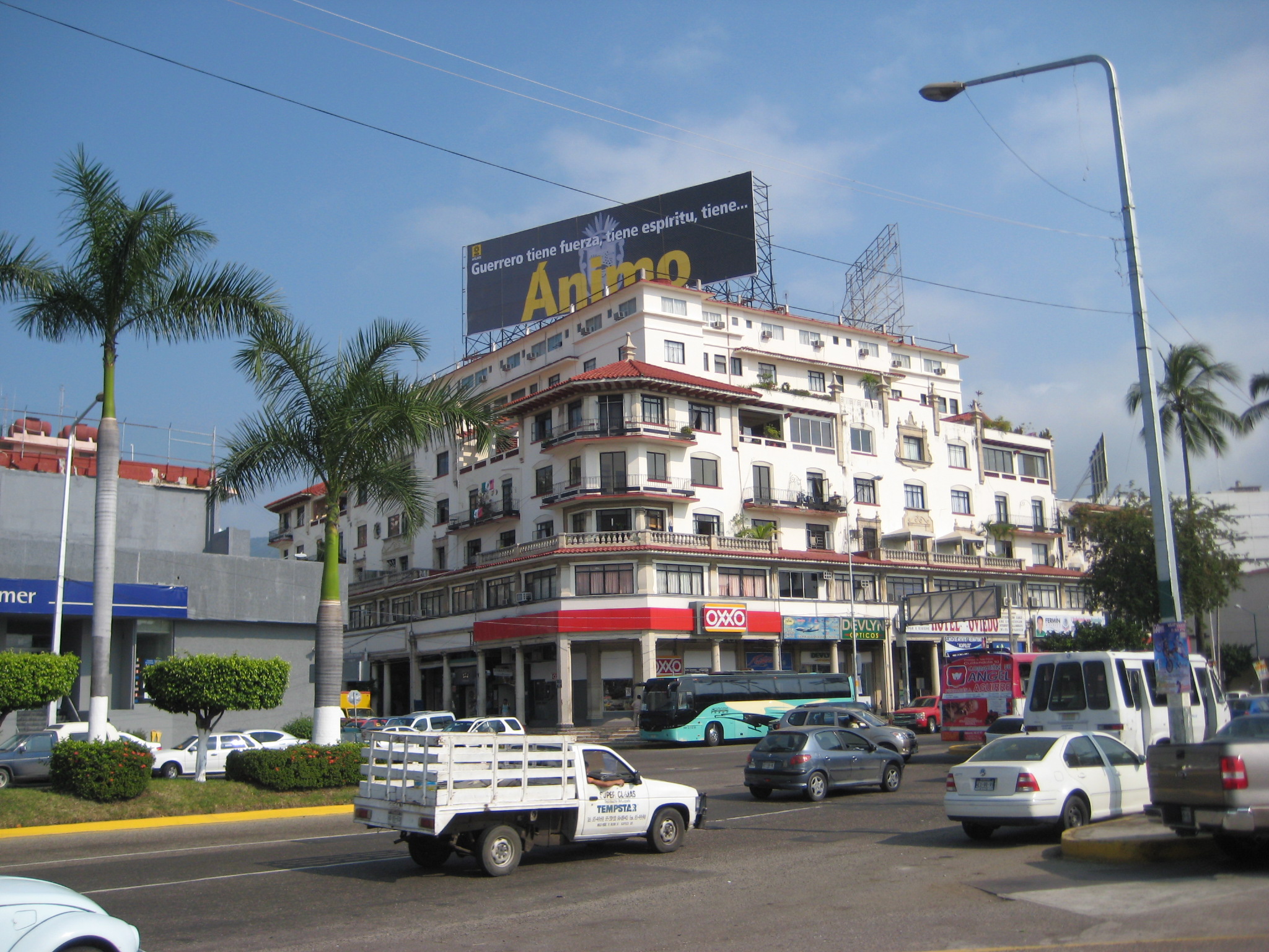 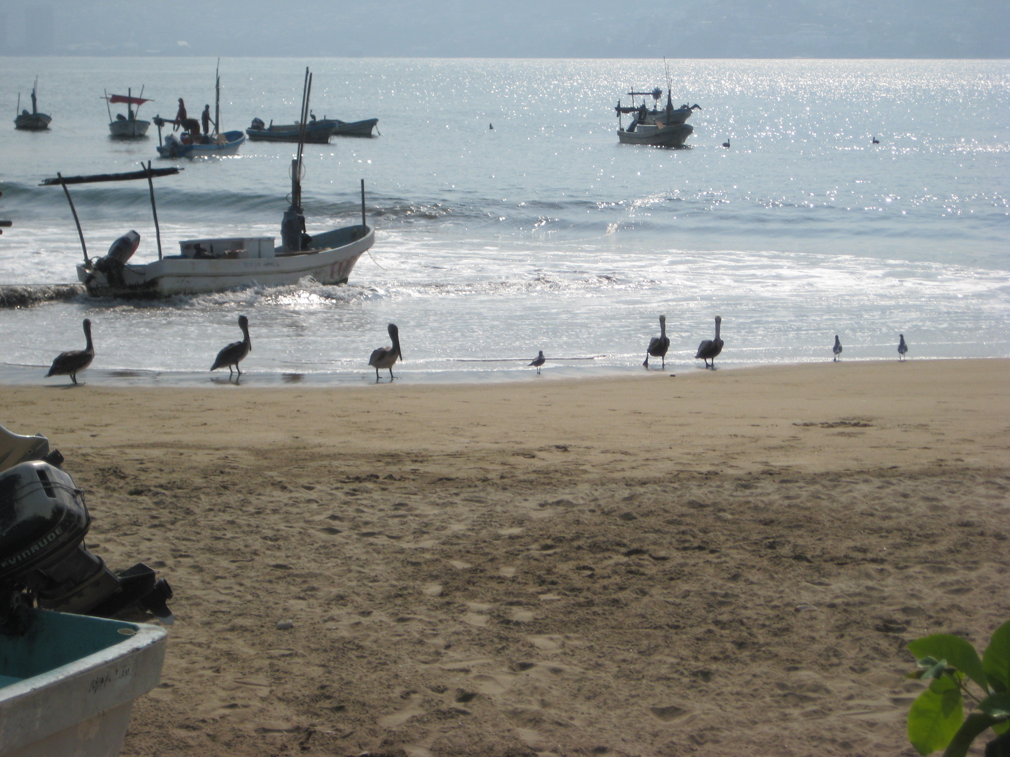 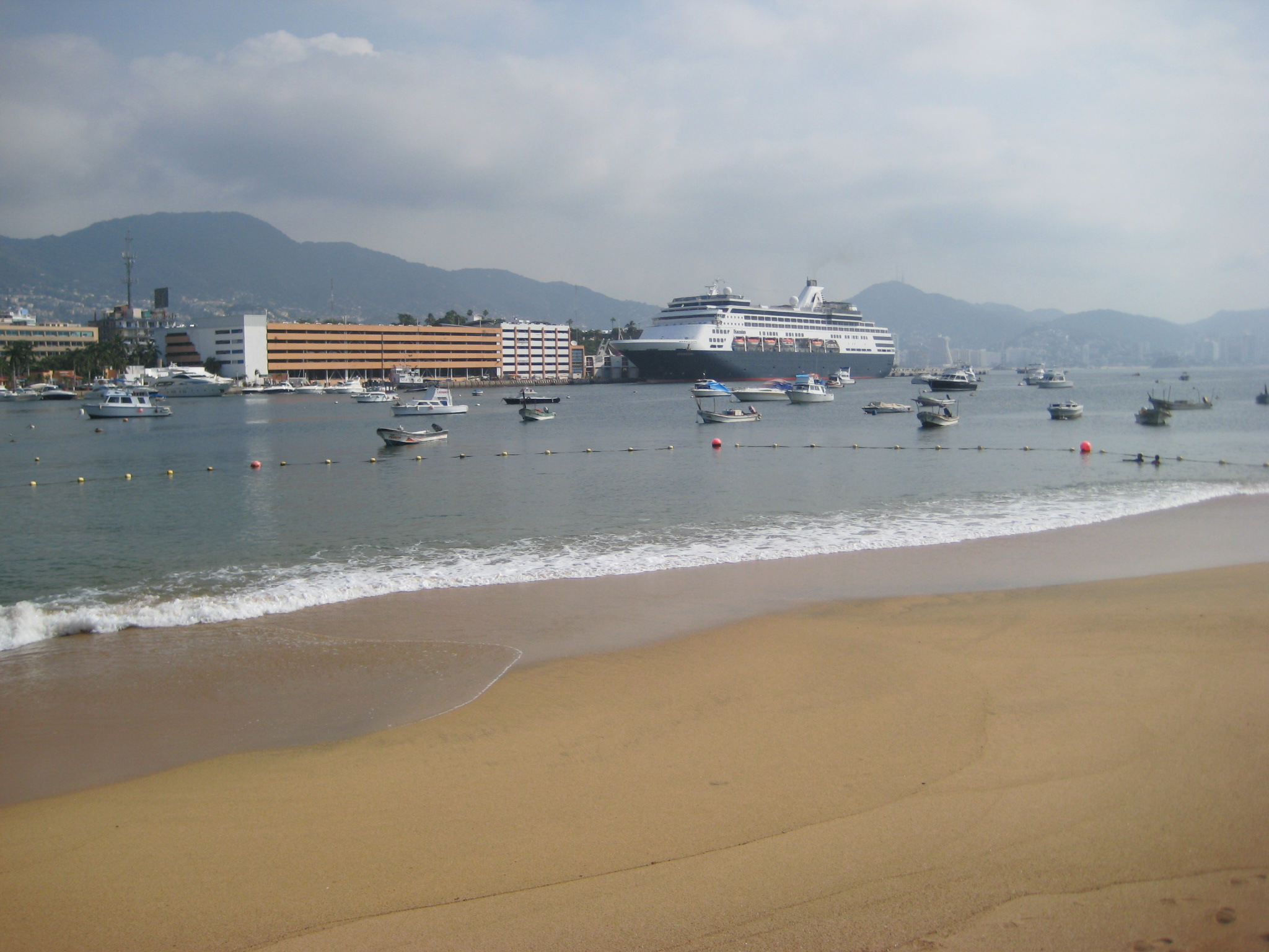 Pictures 6 through 10: The port of Cabo San Lucus cannot accommodate large cruise ships, so the Statendam anchored in the bay and passengers were tendered ashore. 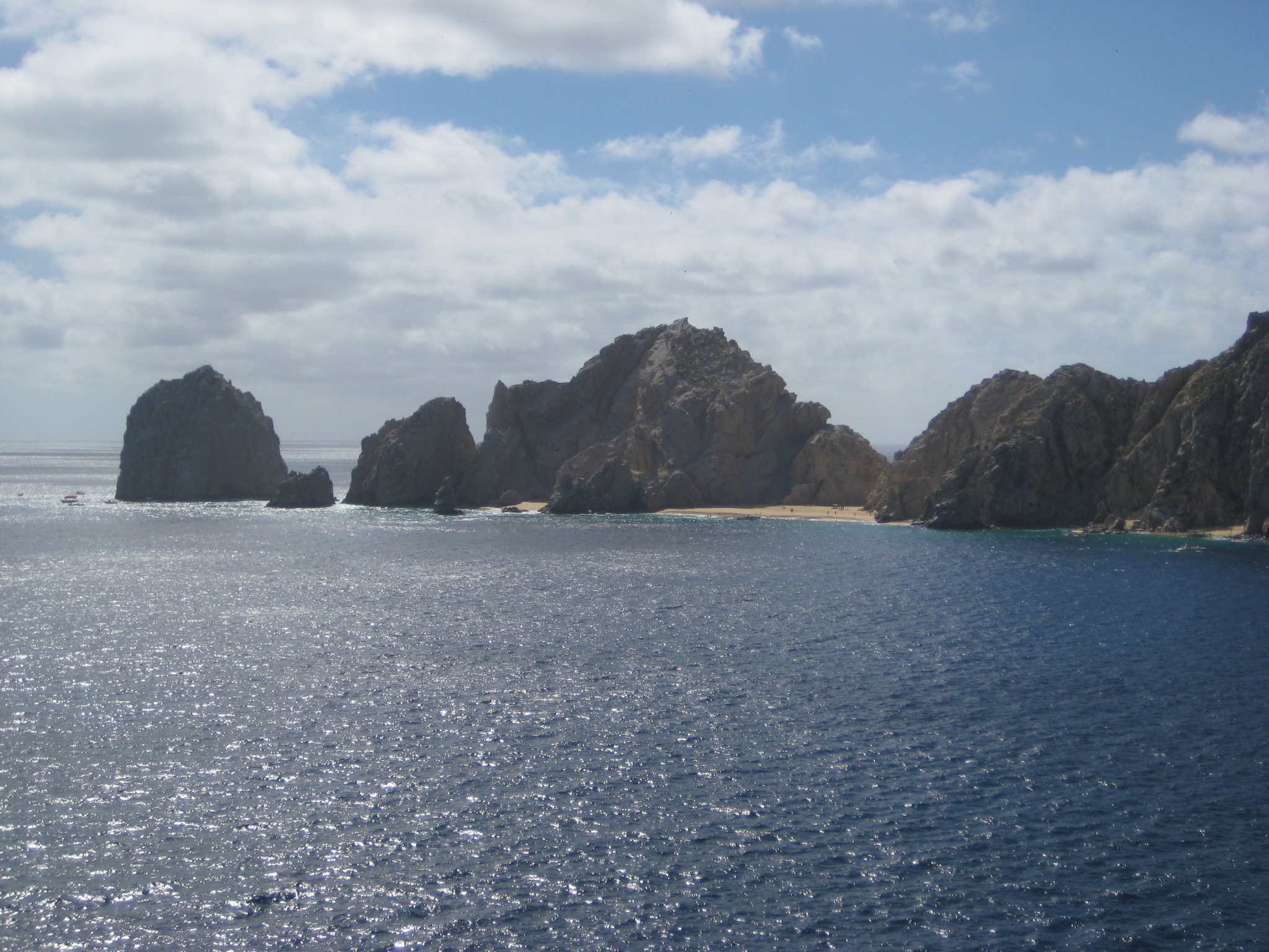 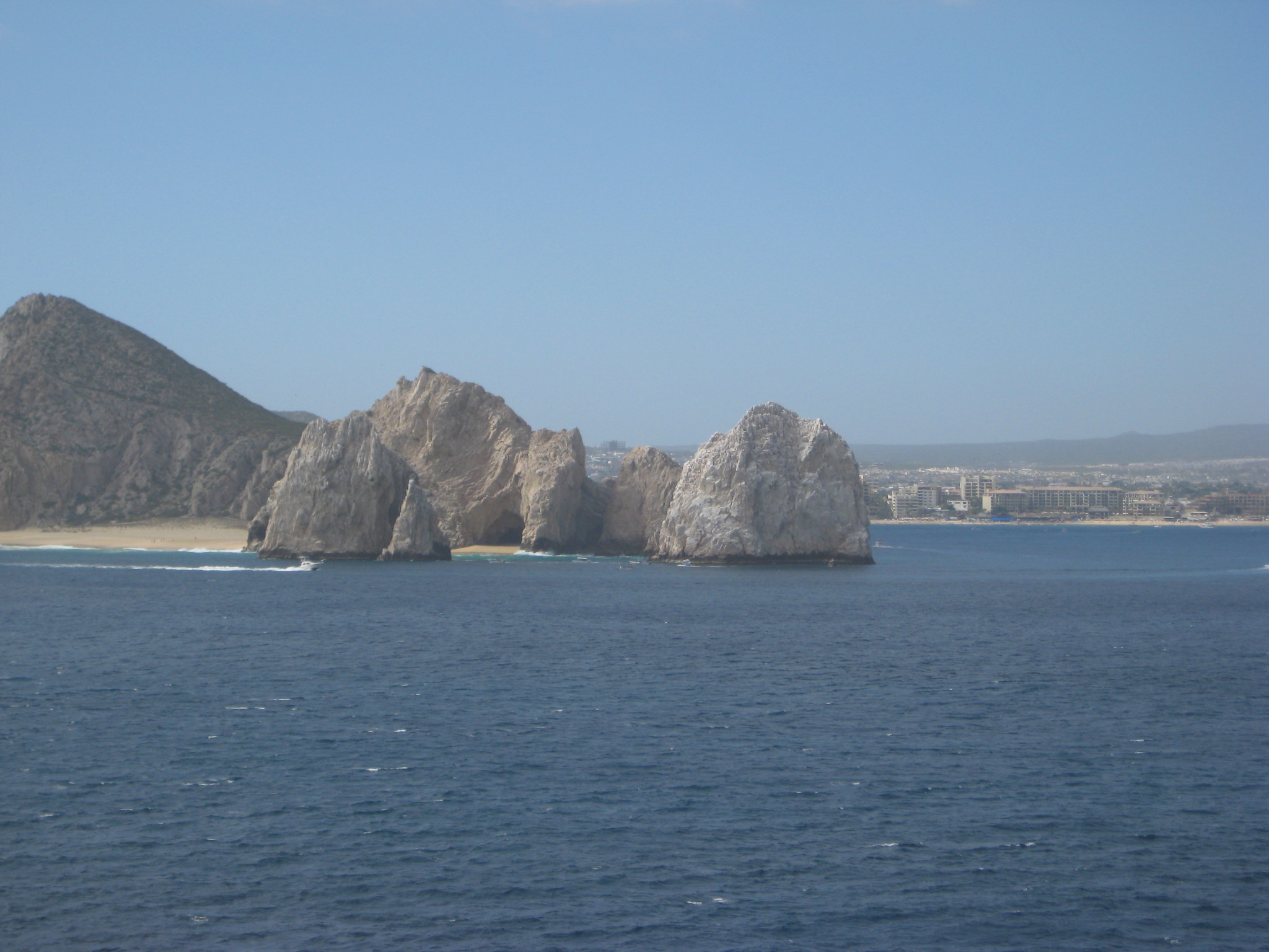 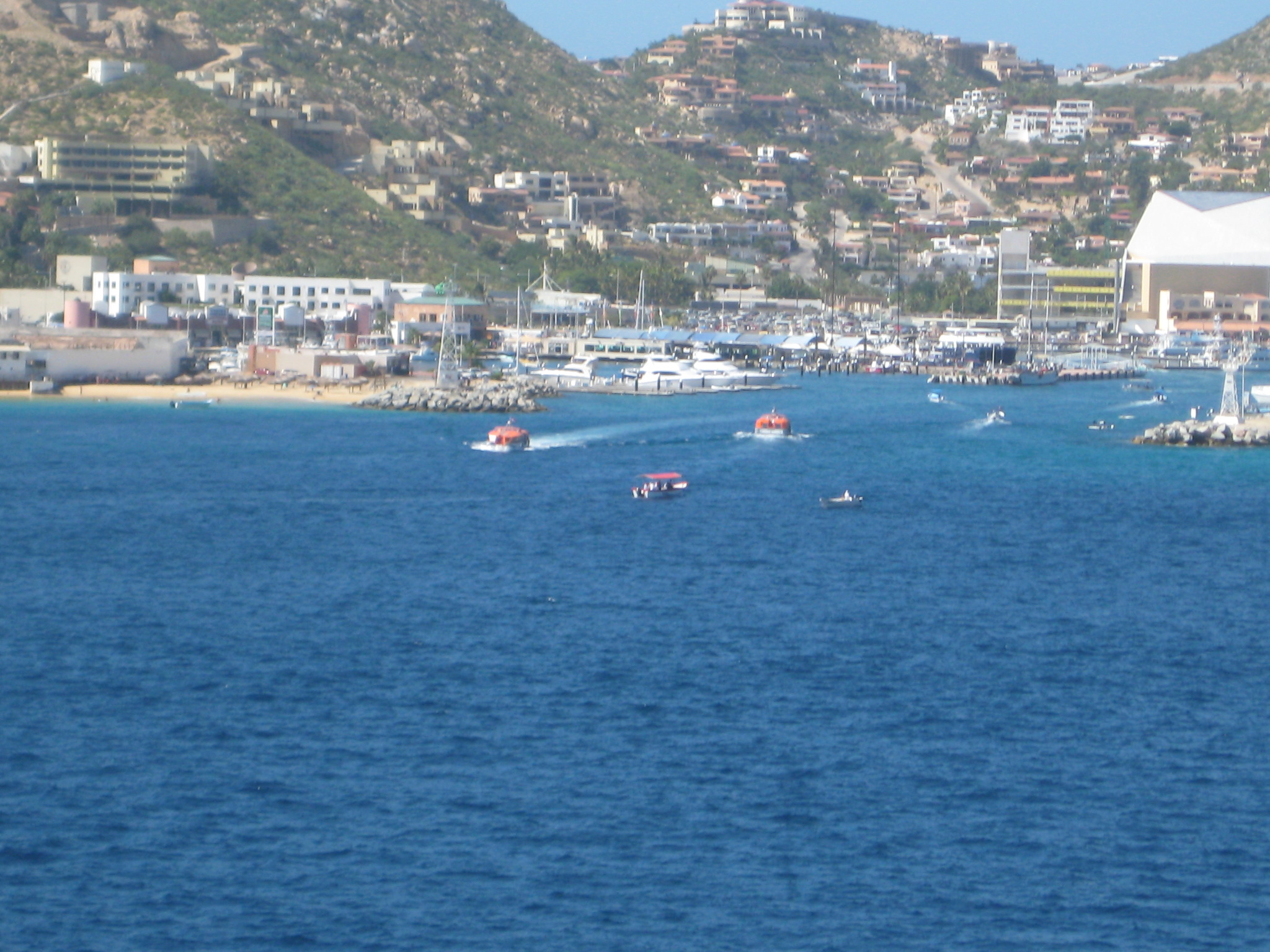 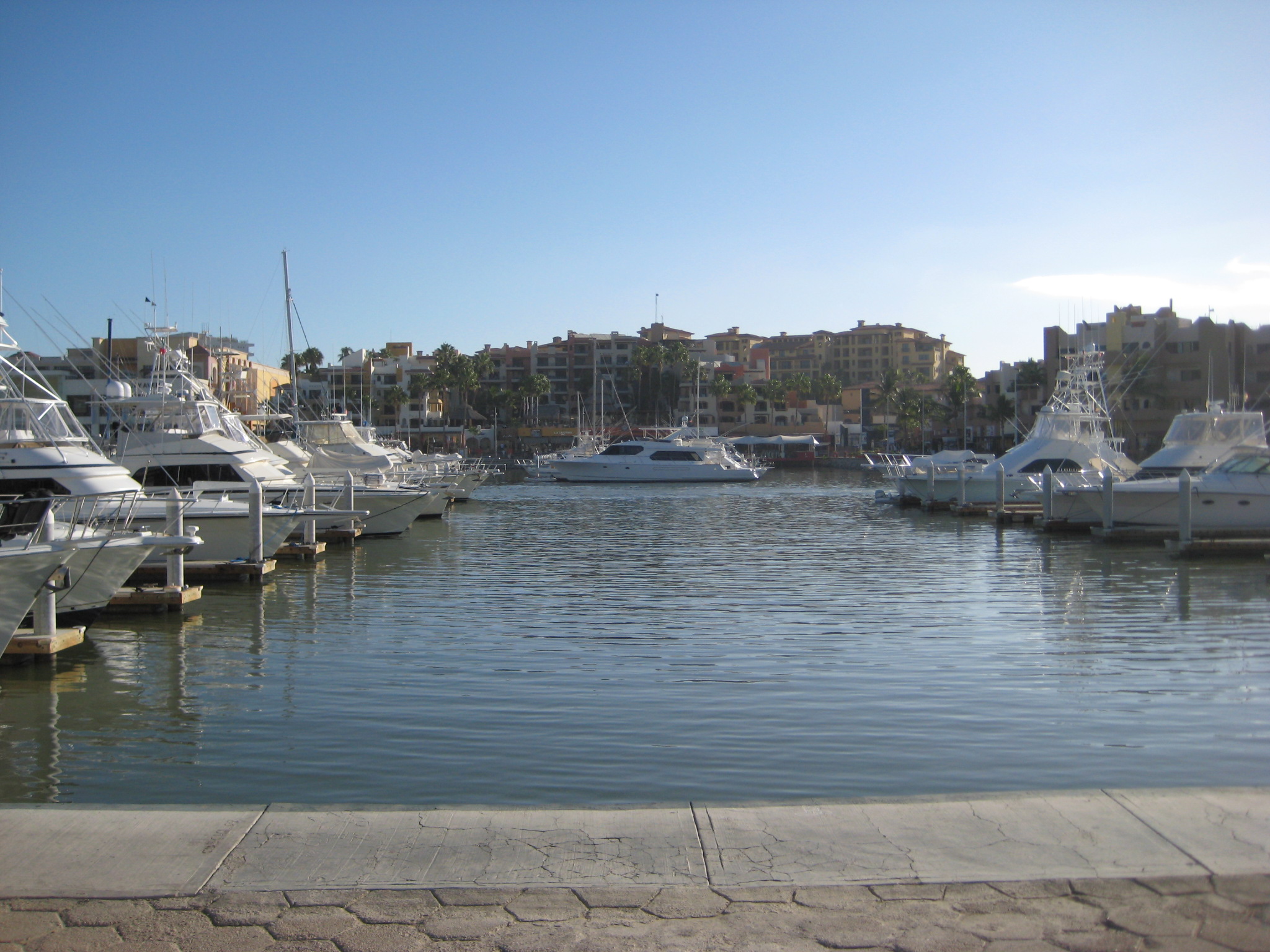 The Statendam spent a day and a half sailing the Baja California coastline to reach San Diego. It's basically just 600 miles of bone dry mountains. 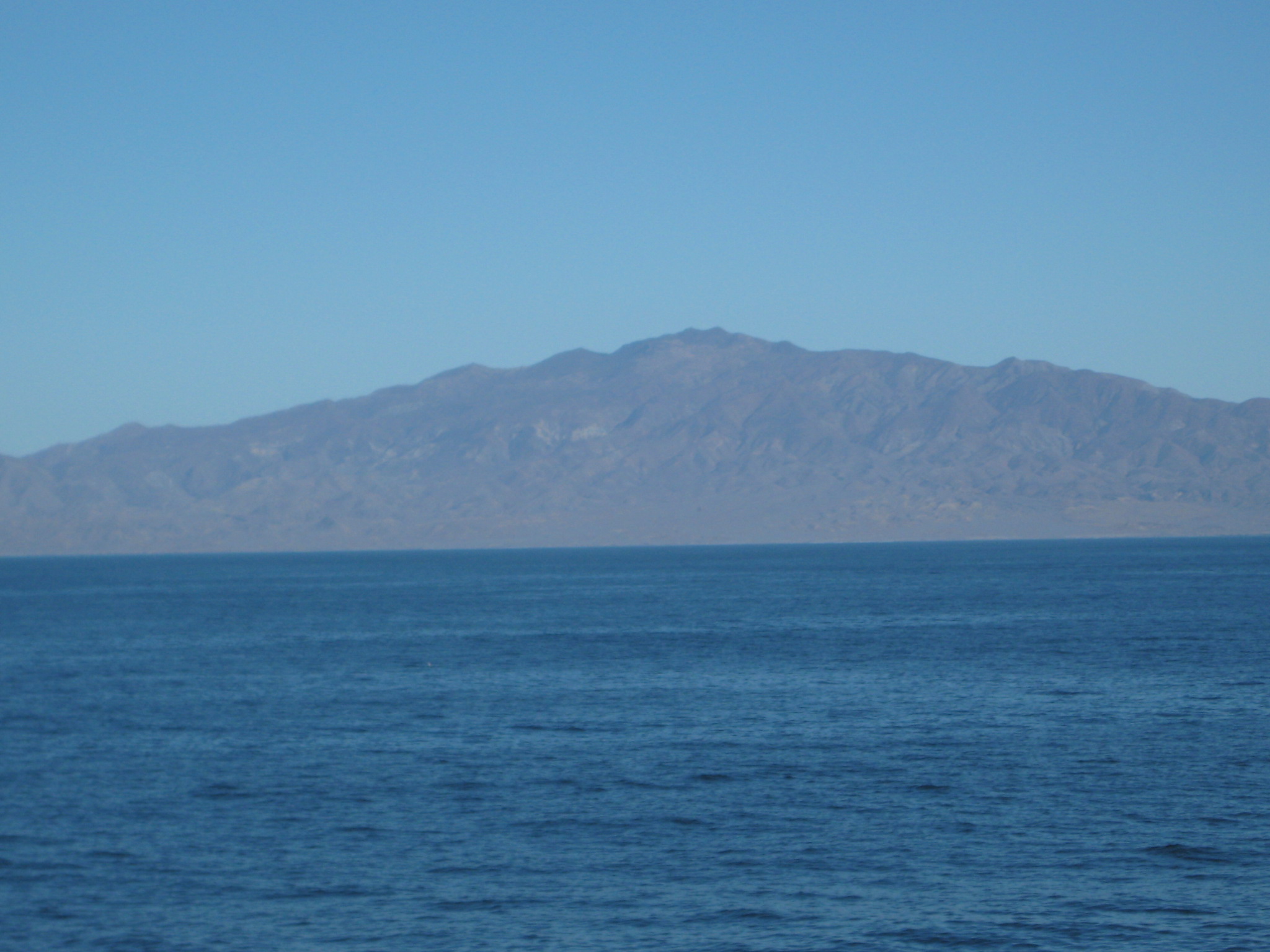 Pictures 11 through 16: 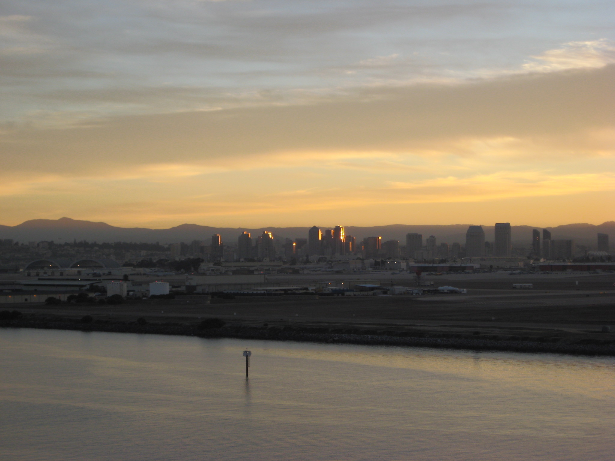 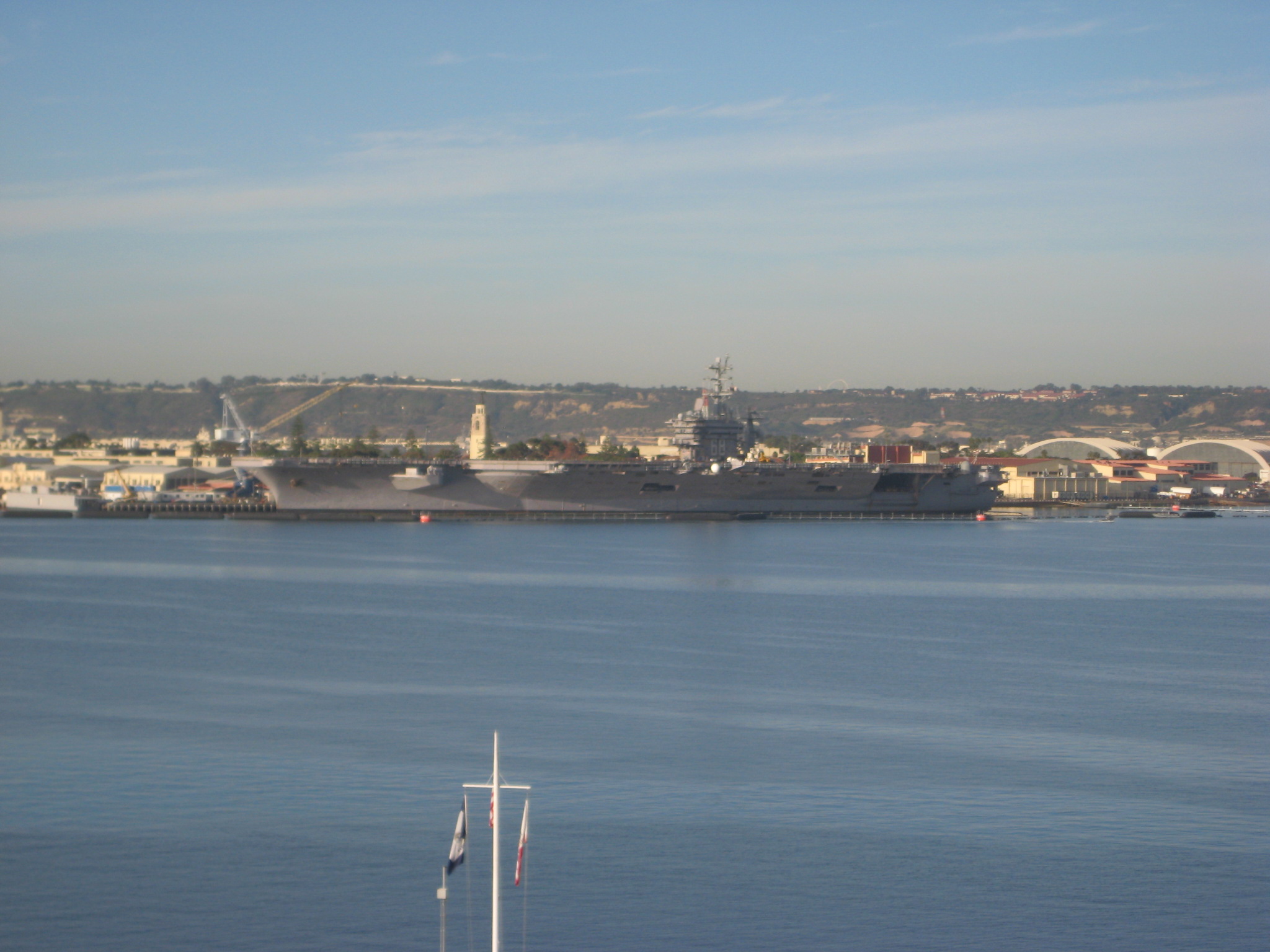 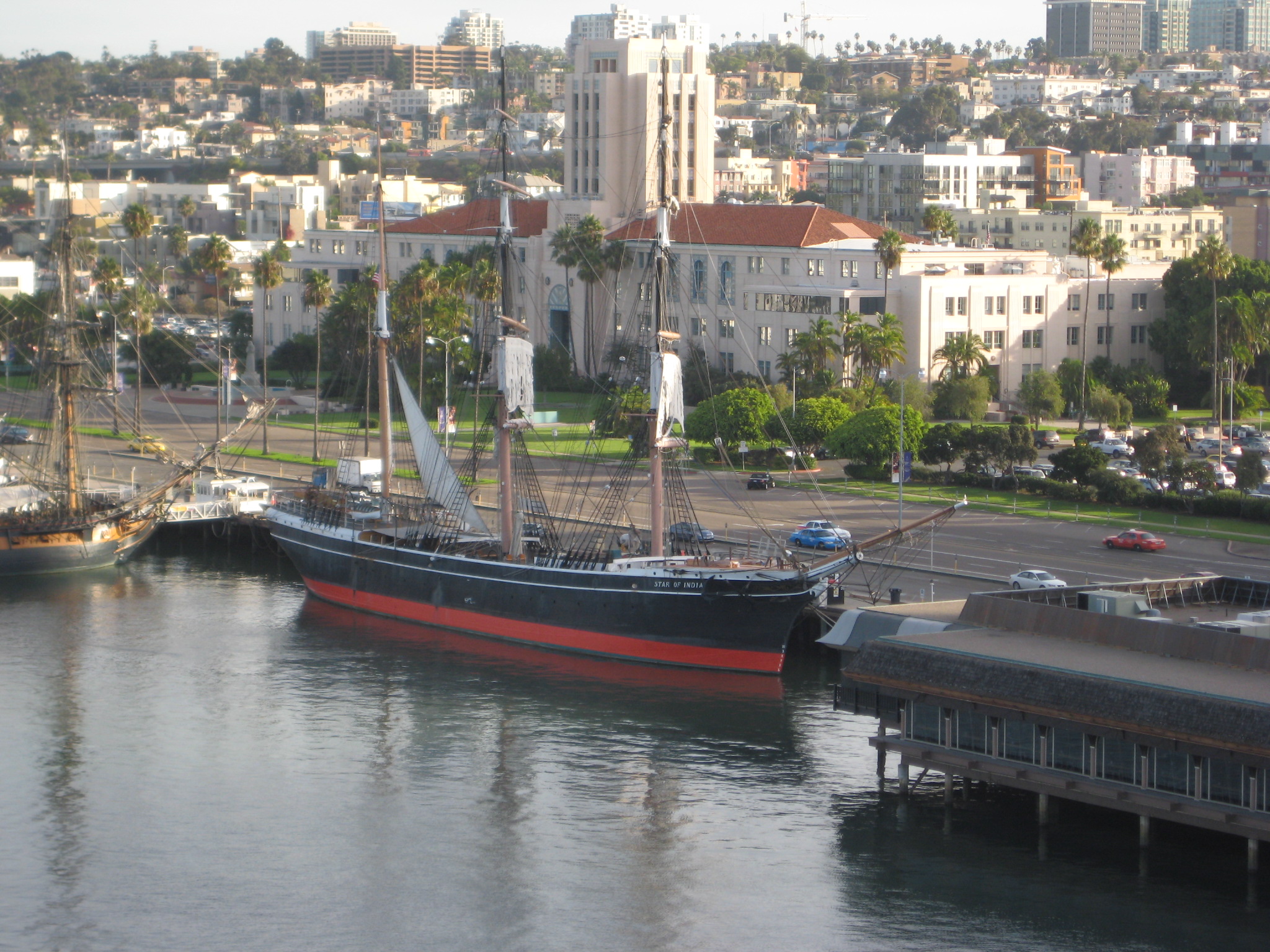 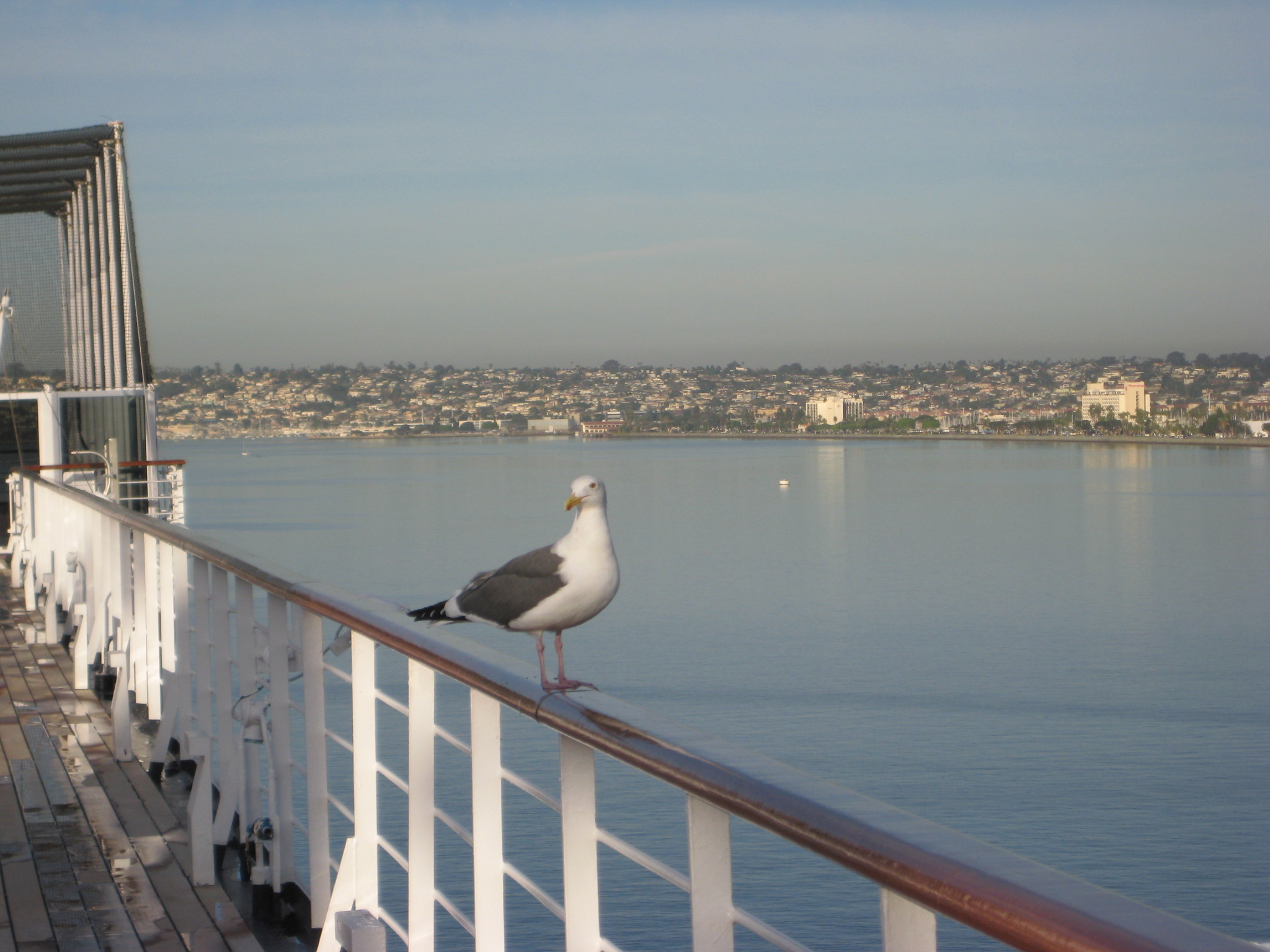 The History Channel ranked San Diego as one of the "Ten Most Dangerous Airports". Homeowners on the landing glidepath can almost reach up and touch the aircraft as this video shows. However, it's convenient to the Cruise Ship terminal at the Broadway Pier. Since it was a nice sunny day, I decided to make the 30 minute walk along Harbor Drive from the ship to the Airport Terminal. 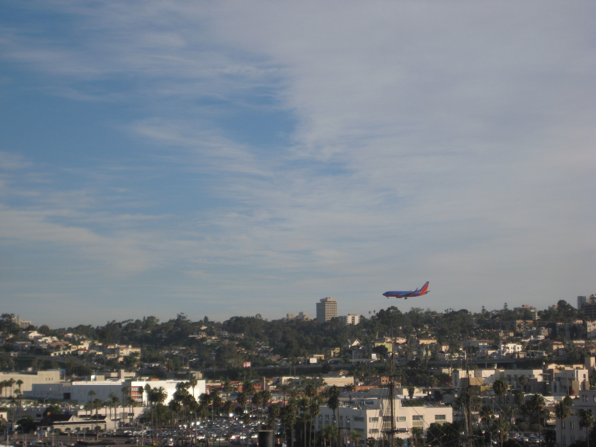 Go back to first page of pictures of Panama Canal - Fort Lauderdale to Panama Canal |
![[Retire Early]](ademail.jpg)