![[Retire Early]](retire.gif)
| ............. |
This article was posted on November 15, 2010. Navigation Picture 1: It took the Statendam about 10 hours to transit the 50 mile distance from the breakwater on Limon Bay on the Carribean side to where the local pilot disembarked the vessel south of Balboa on the Pacific side. The 40 miles between the Gatun Locks and the Pedro Miguel Lock is particularly scenic, offering passengers a rare look at a virgin tropical rainforest from the comfort of 5-star accomodations. Indeed, ships pass just North of Barro Colorado Island, the site of the Smithsonian Tropical Research Institute. 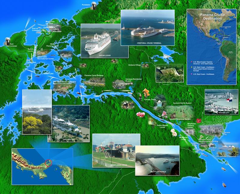 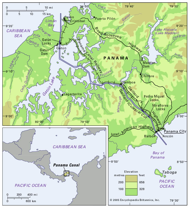 Picture 2: Gatun Lake was formed by daming the Chagres River with the mile long earthen Gatun Dam. (At the time, the largest in the World.) 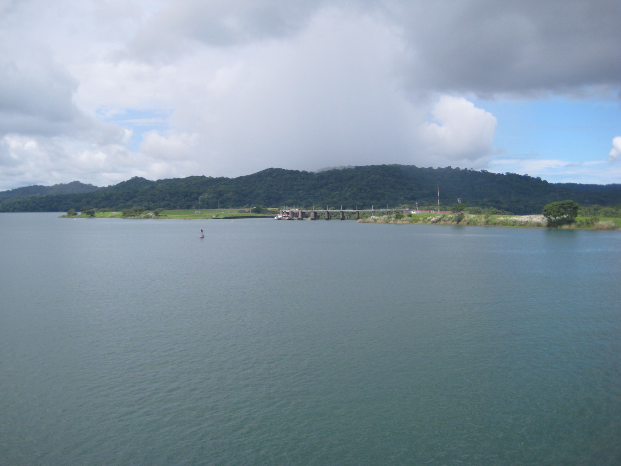 Picture 3: Although the Zuiderdam just came through the Gatun Locks, it's going to turn around and immediately go back the way it came. That's what the cruise line calls a "partial-transit" of the Panama Canal. Even though there are two sets of parallel locks, they don't run the Canal like a highway with a northbound and southbound lane. That's because a portion of the Canal through the Gaillard Cut is too narrow for two large vessels to pass each other. Thus, Canal operators manage the traffic in northbound and southbound convoys through the Gaillard Cut and reverse the direction of both sides of the locks as well. 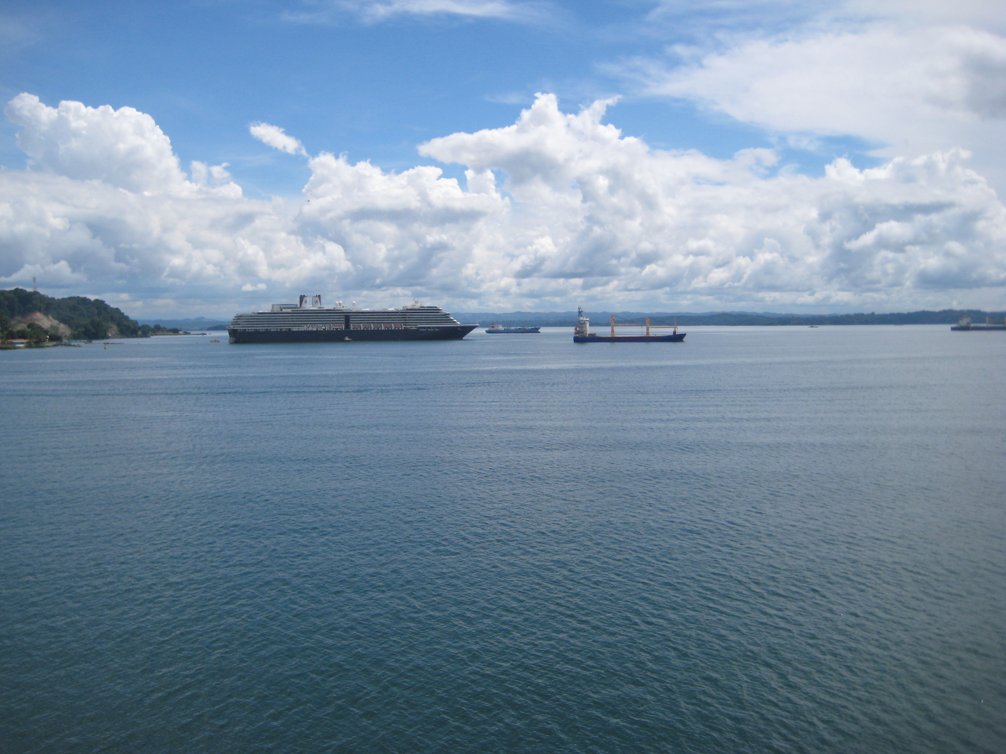 Pictures 4, 5 and 6: 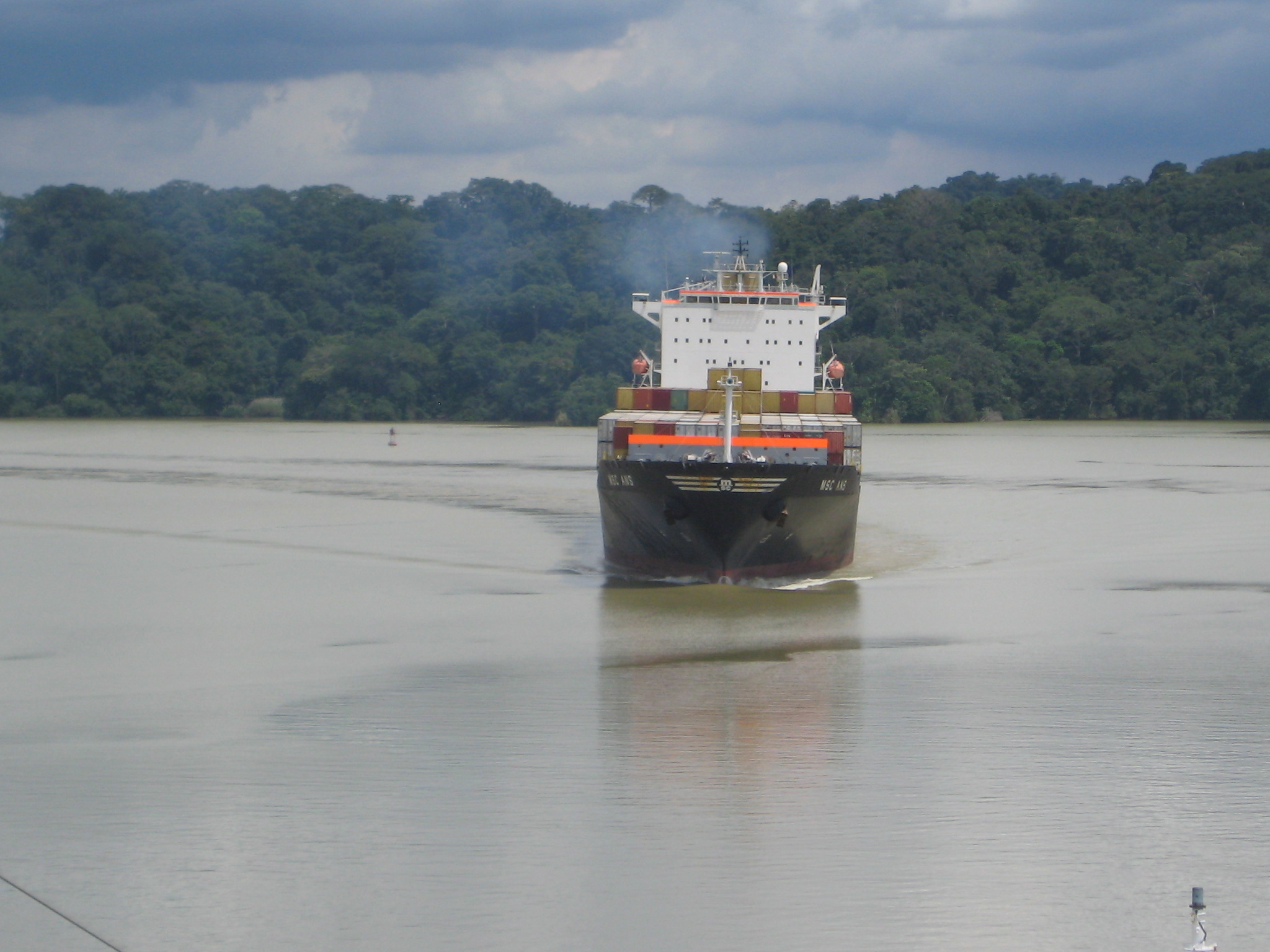 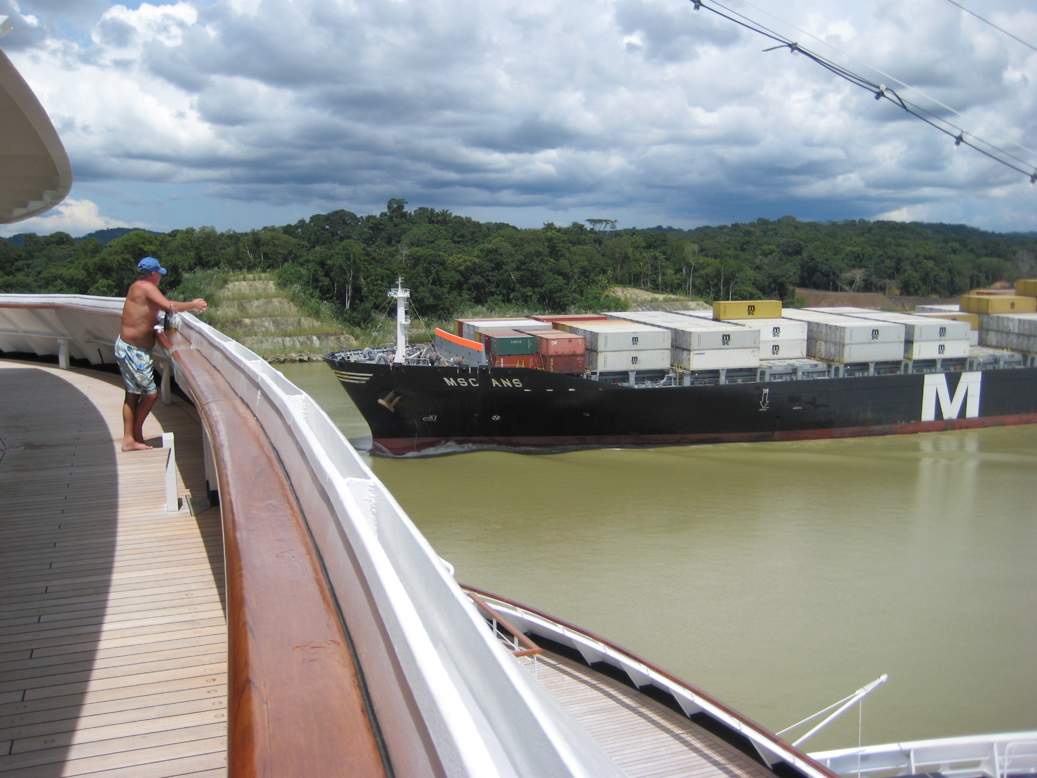 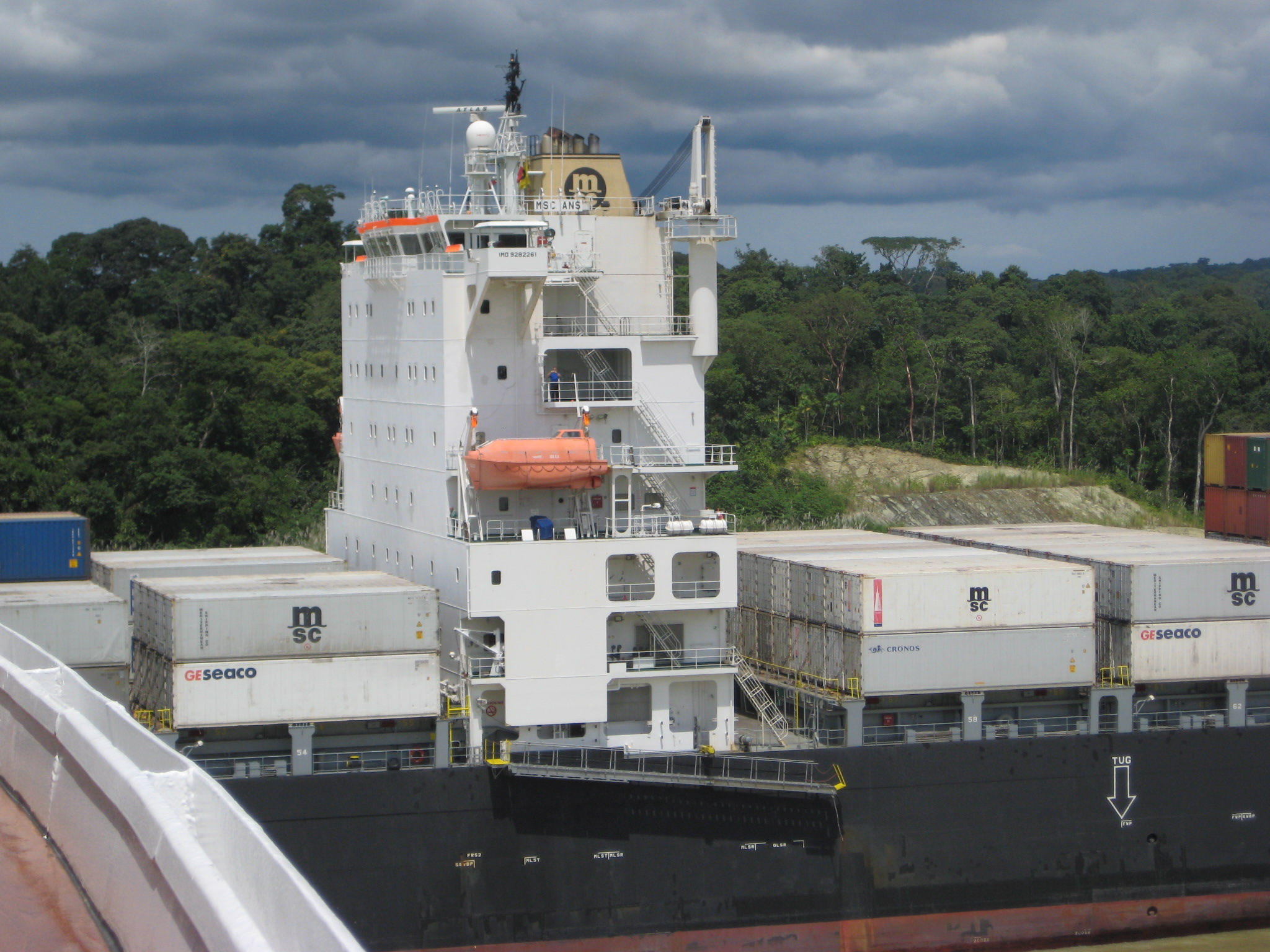 Pictures 7 and 8: The Panama Canal Authority has several projects underway to increase the capacity of the Canal. They are widening the Canal through the Galliard Cut to allow two-way traffic and building a new set of locks to allow much larger vessels to transit the Canal. The barge below can drill up to four holes simultaneously, which are then filled with explosives. After the rock and earth is freed, a second barge excavates the material. 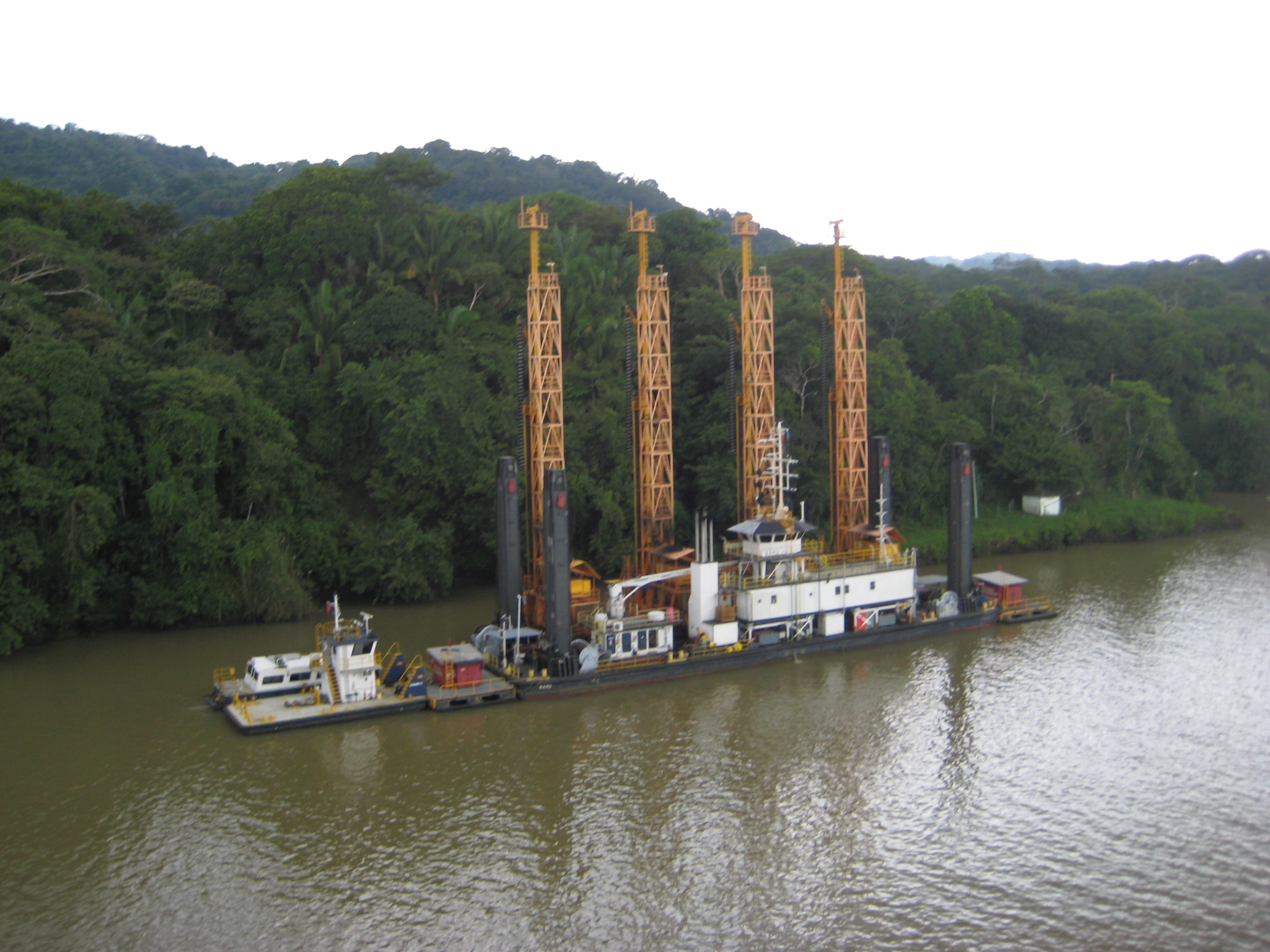 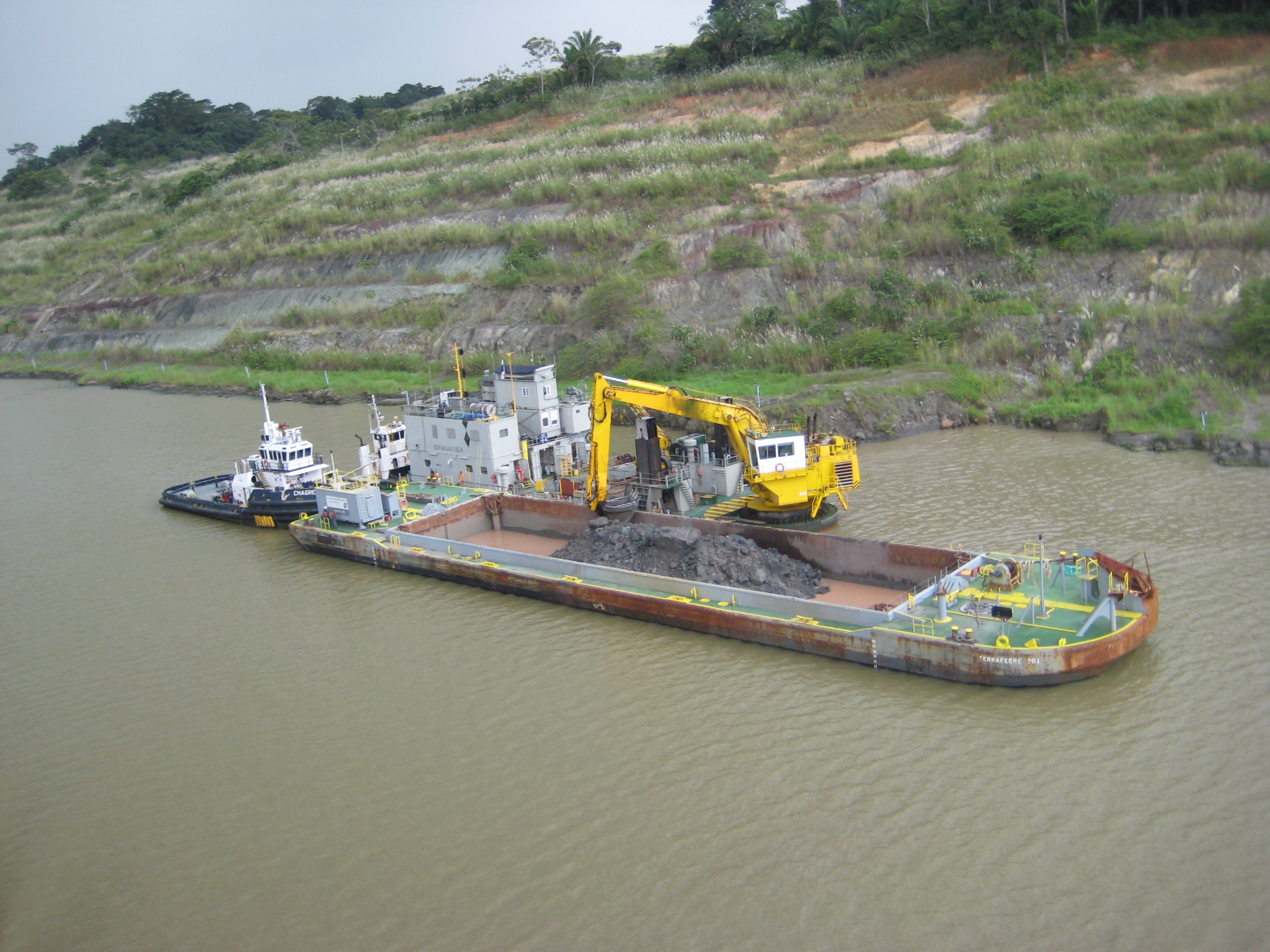 Picture 9: At 587 feet above sea level, Gold Hill is the site of the deepest part of the Galliard Cut. You can see the Centenniel Bridge to the right. The folklore is that mountain was named "Gold Hill" with the idea that the locals would aid in the excavation in the hope of finding gold. 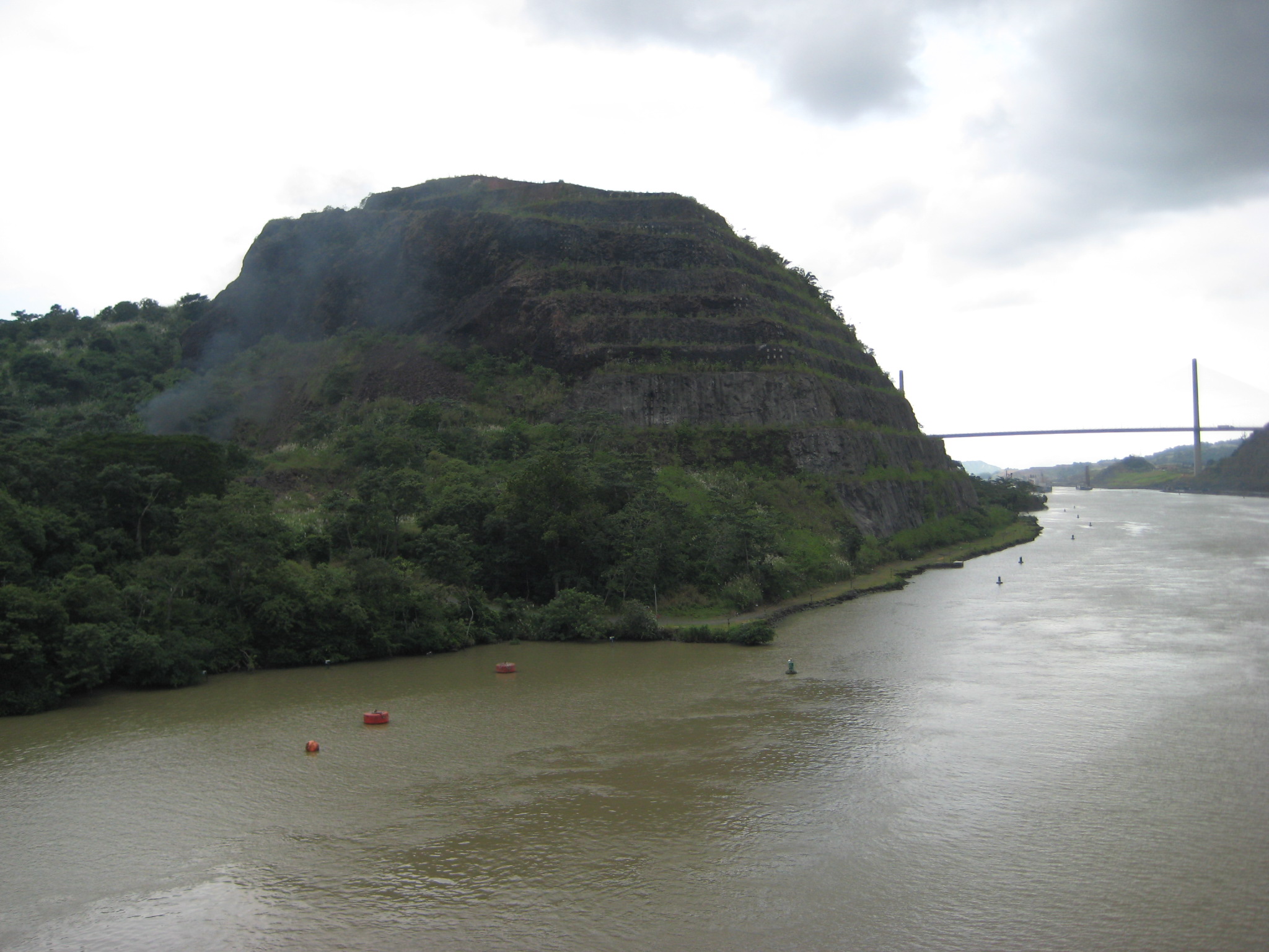 Pictures 10 and 11: The six-lane Centennial Bridge was opened in 2004 to alleviate congestion on the Bridge of the Americas at Balboa, 9 miles South. 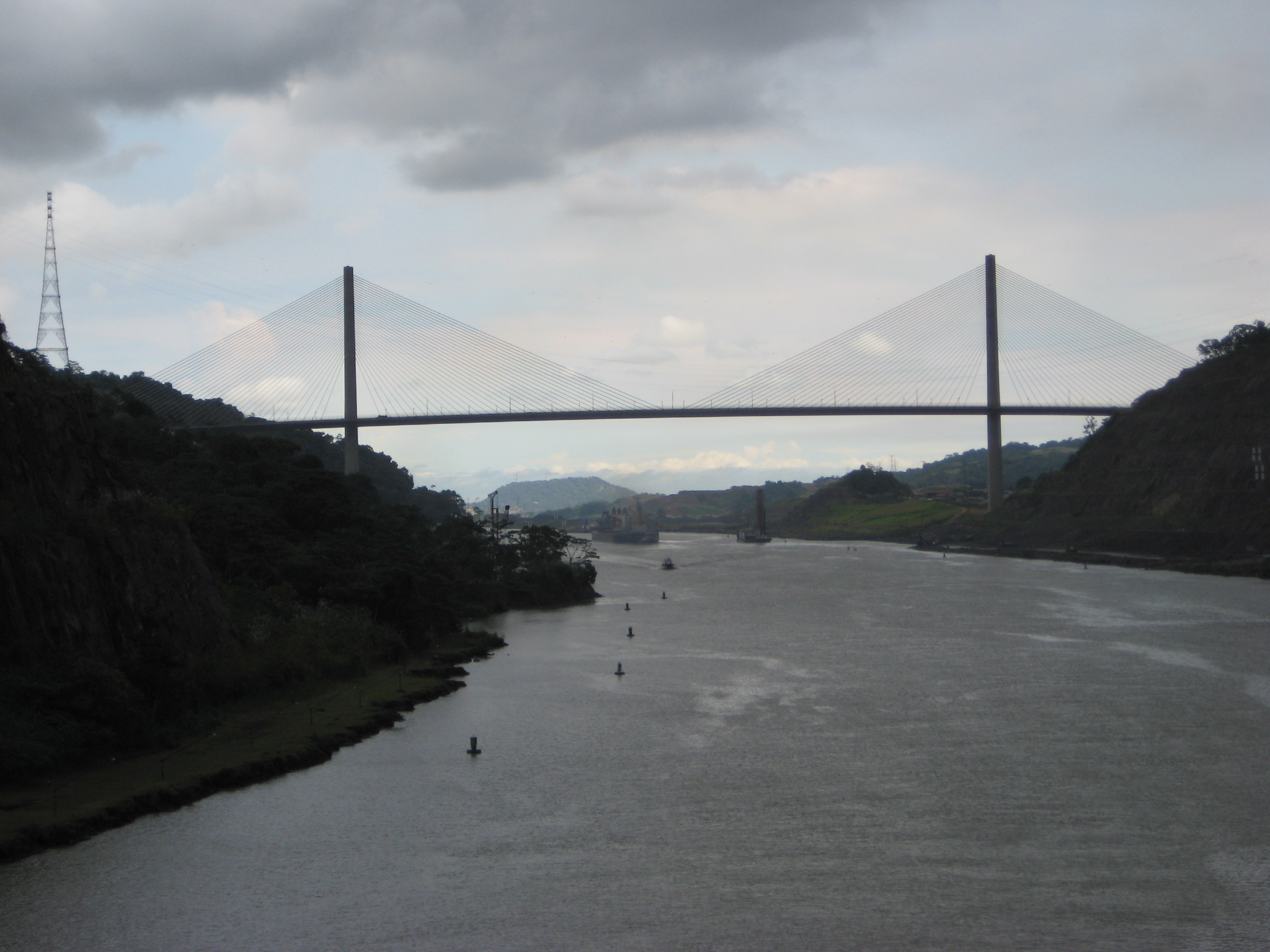 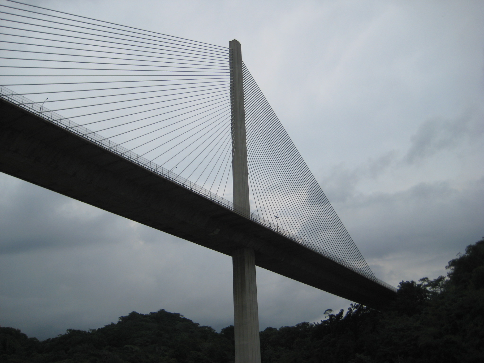 Picture 12: The 50-mile journey takes about an hour. There's also rail freight service for shippers looking to beat the astronomical tolls through the canal 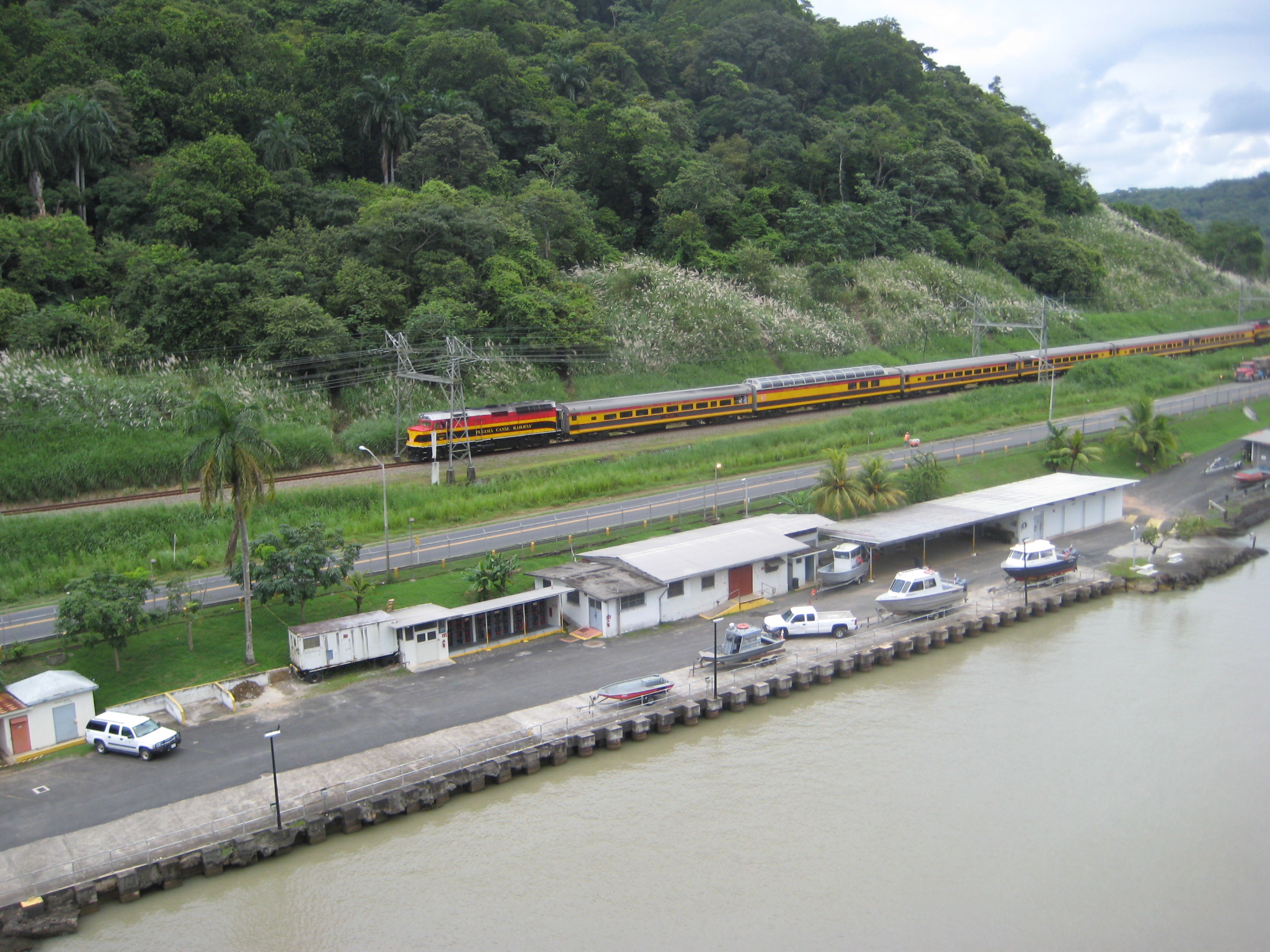 Picture 13: This single-stage lock drops or raises vessels 31 feet. 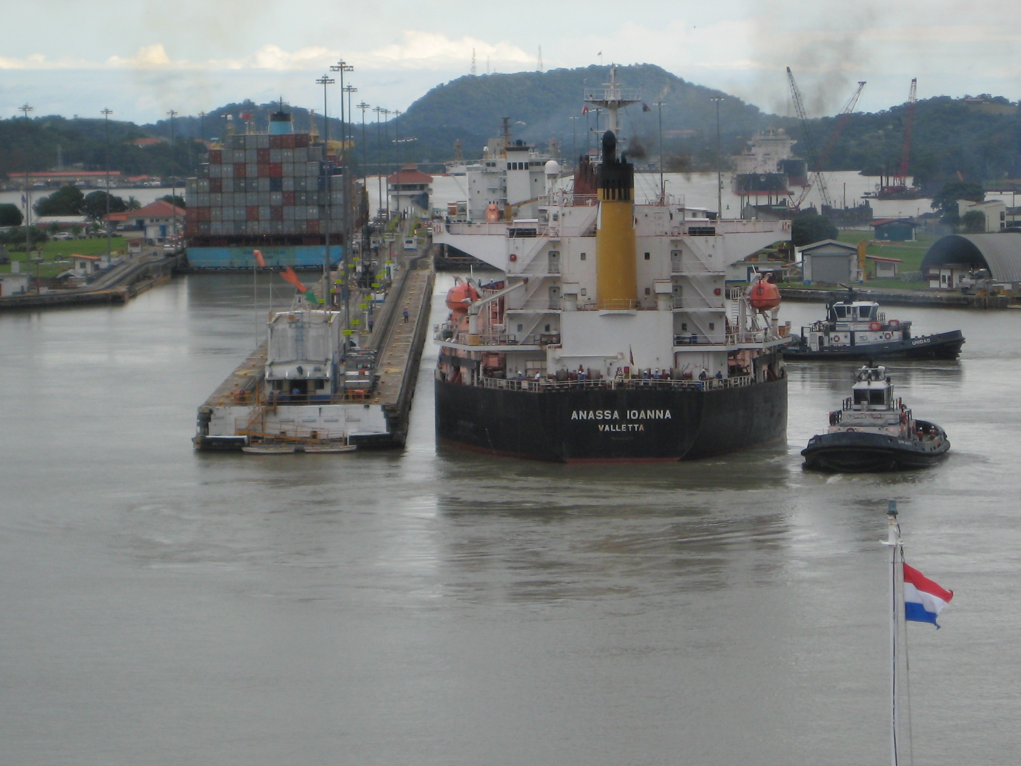 Picture 14: The Pedro Miguel lock has two sets of gates for safety. 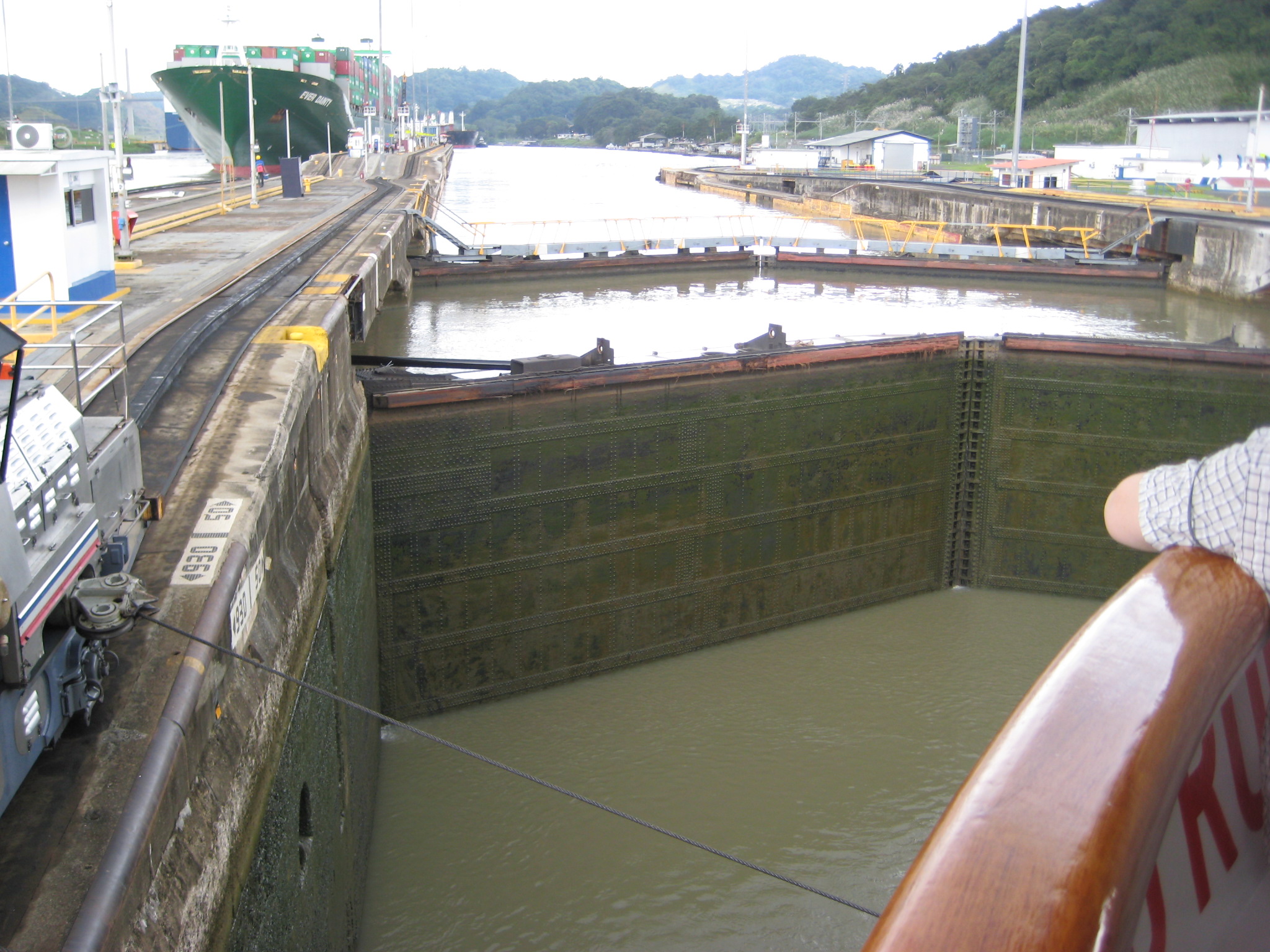 Pictures 15 and 16: The Miraflores Locks have two stages with a total change in elevation of a bit more than 50 feet. The building on the left is a visitor center and museum. 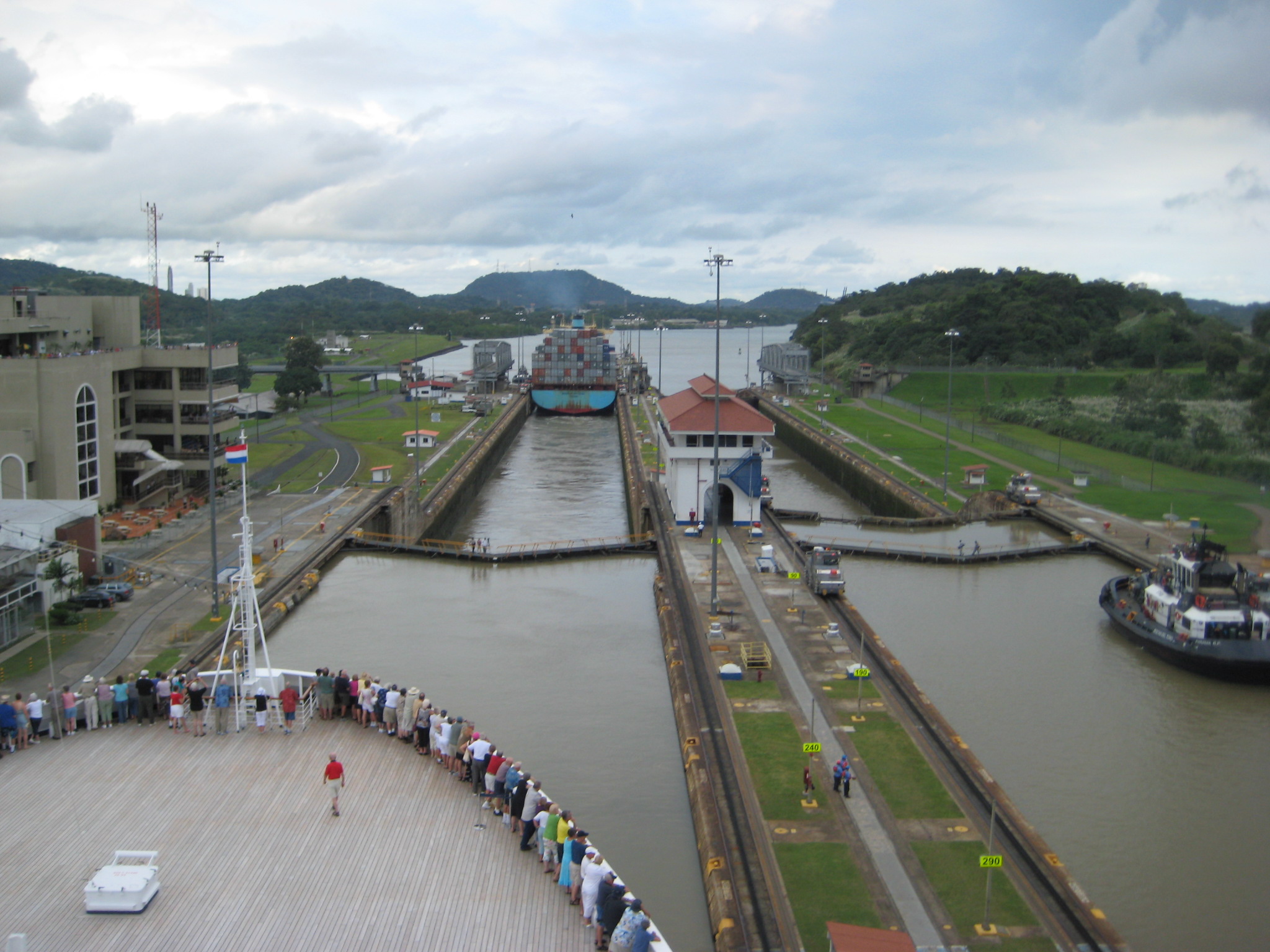 Hundreds of school children on a visit to the museum wave to passing ships. 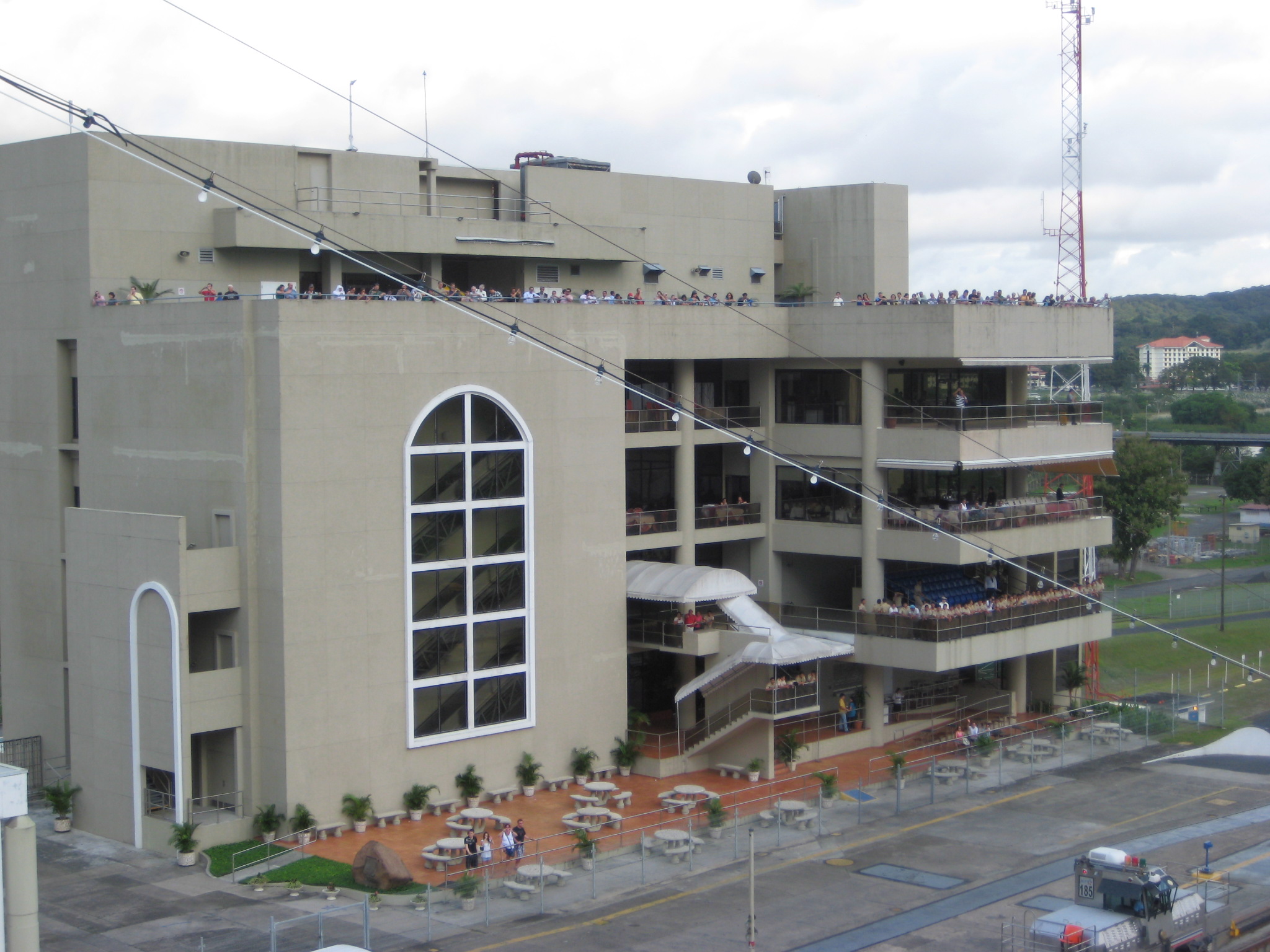 Go to pictures of Panama Canal - Balboa to San Diego, California |
![[Retire Early]](ademail.jpg)