[Retire Early]
Alaska Trip June 2010 - Icy Strait Point, Ketchican.

.

Pictures from Alaska Trip June 2010
Icy Strait Point, Ketchican.


Return to Table of Contents - Home Page
.............

This article was posted on September 30, 2010.

Navigation
1) Anchorage and Denali Charter Flight
2) Wasilla, Seward Highway, Hubbard Glacier
3) Juneau, Skagway
4) Icy Strait Point, Ketchican
5) Vancouver, BC, Amtrak Cascade

Picture 1:
Riding the Ship's Tender to Icy Strait Point.


Picture 2:
Fish Processing Plant at Icy Strait Point.


Picture 3:
Rocky Beach at Icy Strait Point.


Picture 4:
Totem Pole


Picture 5:
Ketchikan International Airport

Sarah Palin's Bridge to Nowhere was supposed to connect the airport and the 50 residents of
Gravina Island to the town of Ketchikan on the other side of the Tongass Narrows at a cost of $398 million.


Picture 6:
Drizzly day in Ketchikan


Picture 7:
Ketchikan Creek


Picture 8:
Rain Gauge

Ketchikan averages over 150 inches of rain per year
versus about 50 inches annually for Seattle WA or Houston TX


Picture 9:
Cape Fox Hill-Creek Street Funicular at the Cape Fox Lodge


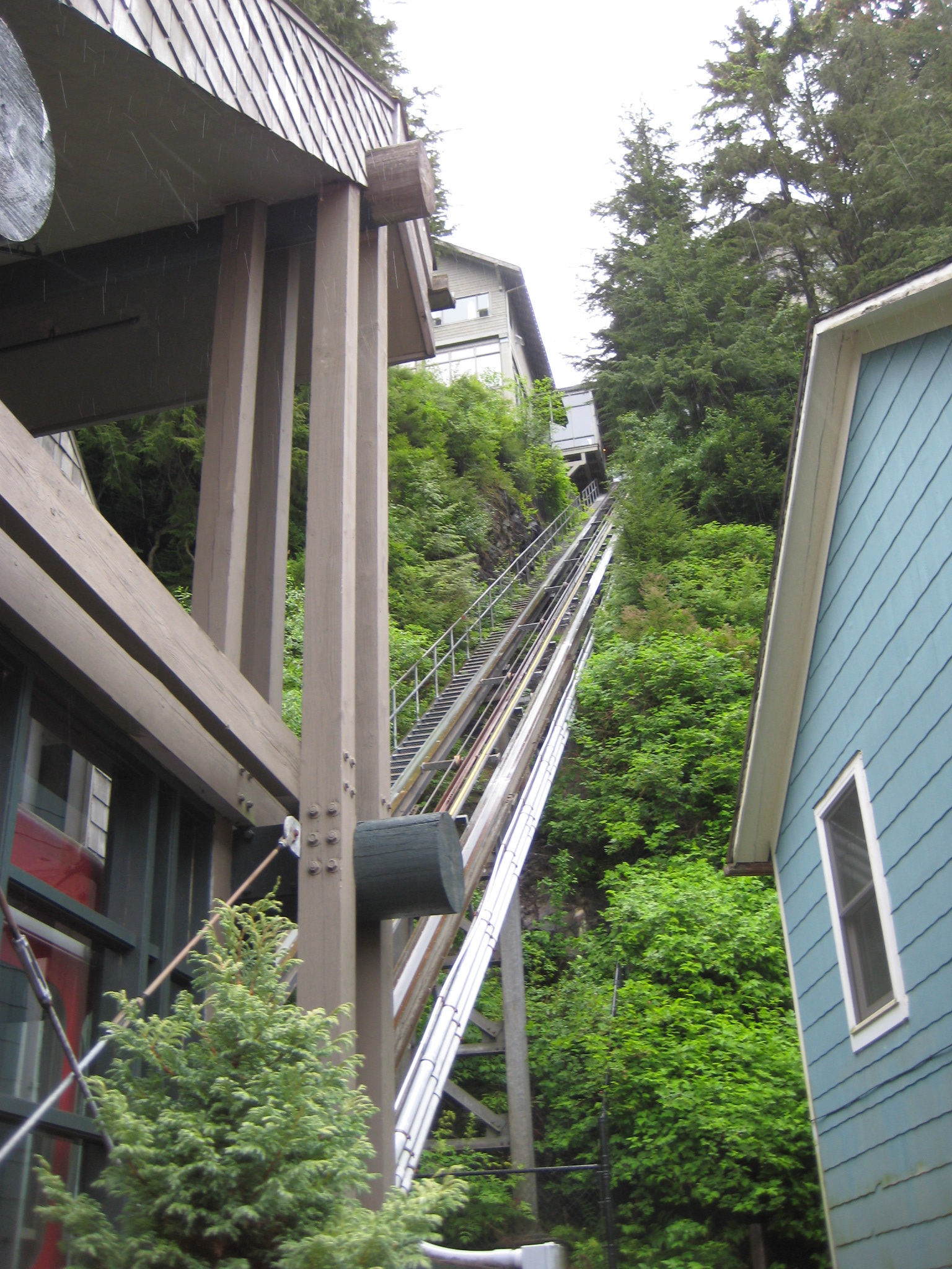
Go to pictures of Vancouver BC, Amtrak Cascade, click here


alaska_cruise_june_2010c.html