.............
This article was posted on September 30, 2010.
Navigation 1) Anchorage and Denali Charter Flight 2) Wasilla, Seward Highway, Hubbard Glacier 3) Juneau, Skagway 4) Icy Strait Point, Ketchican 5) Vancouver, BC, Amtrak Cascade
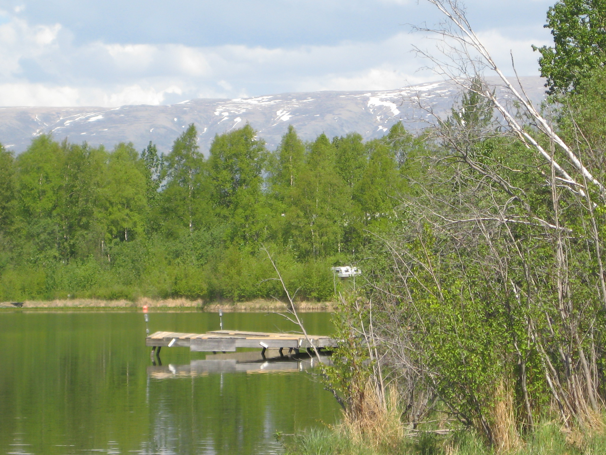
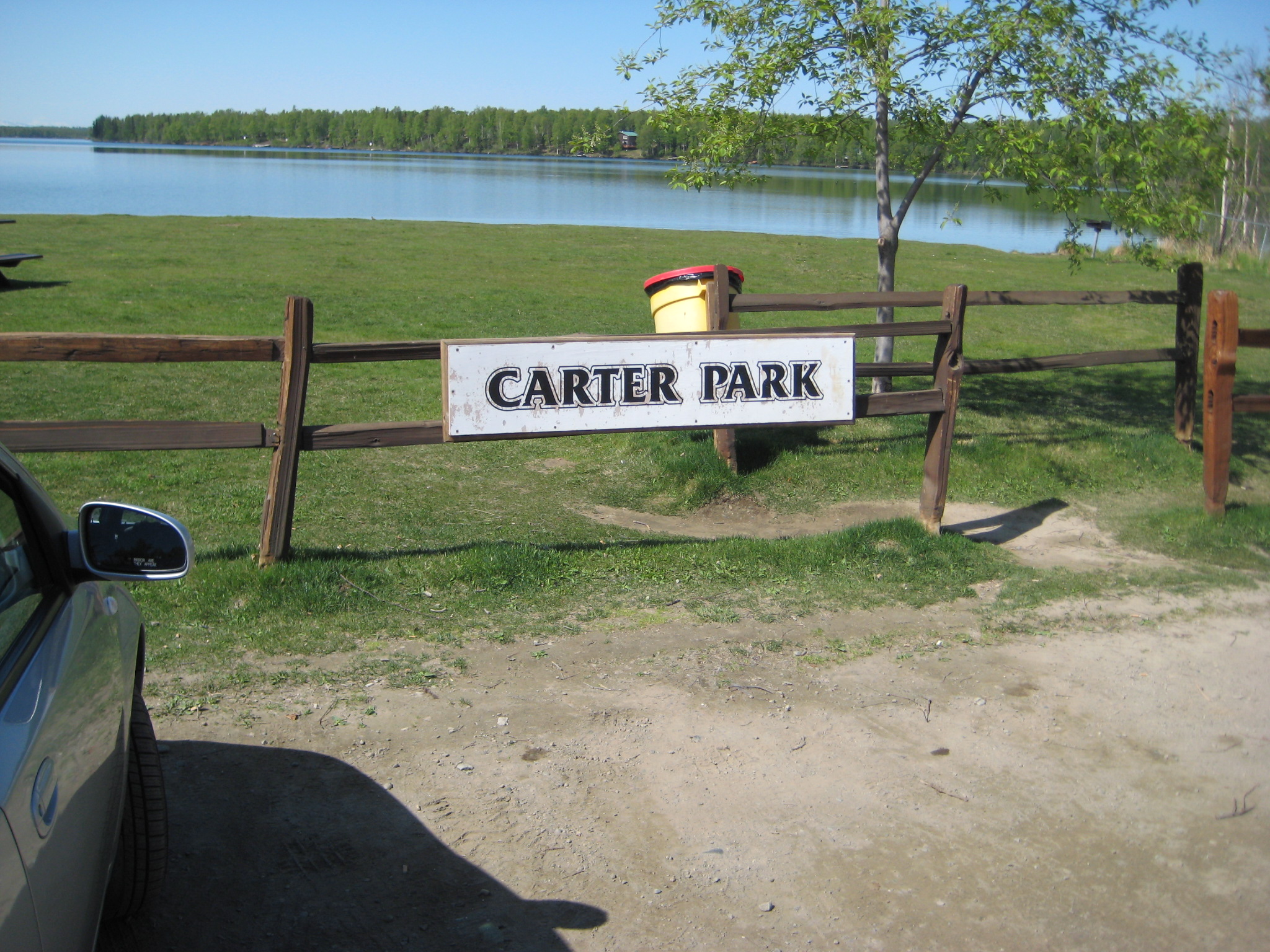
Pictures 1 and 2: Lake Lucille , a few doors down from the Best Western Inn .
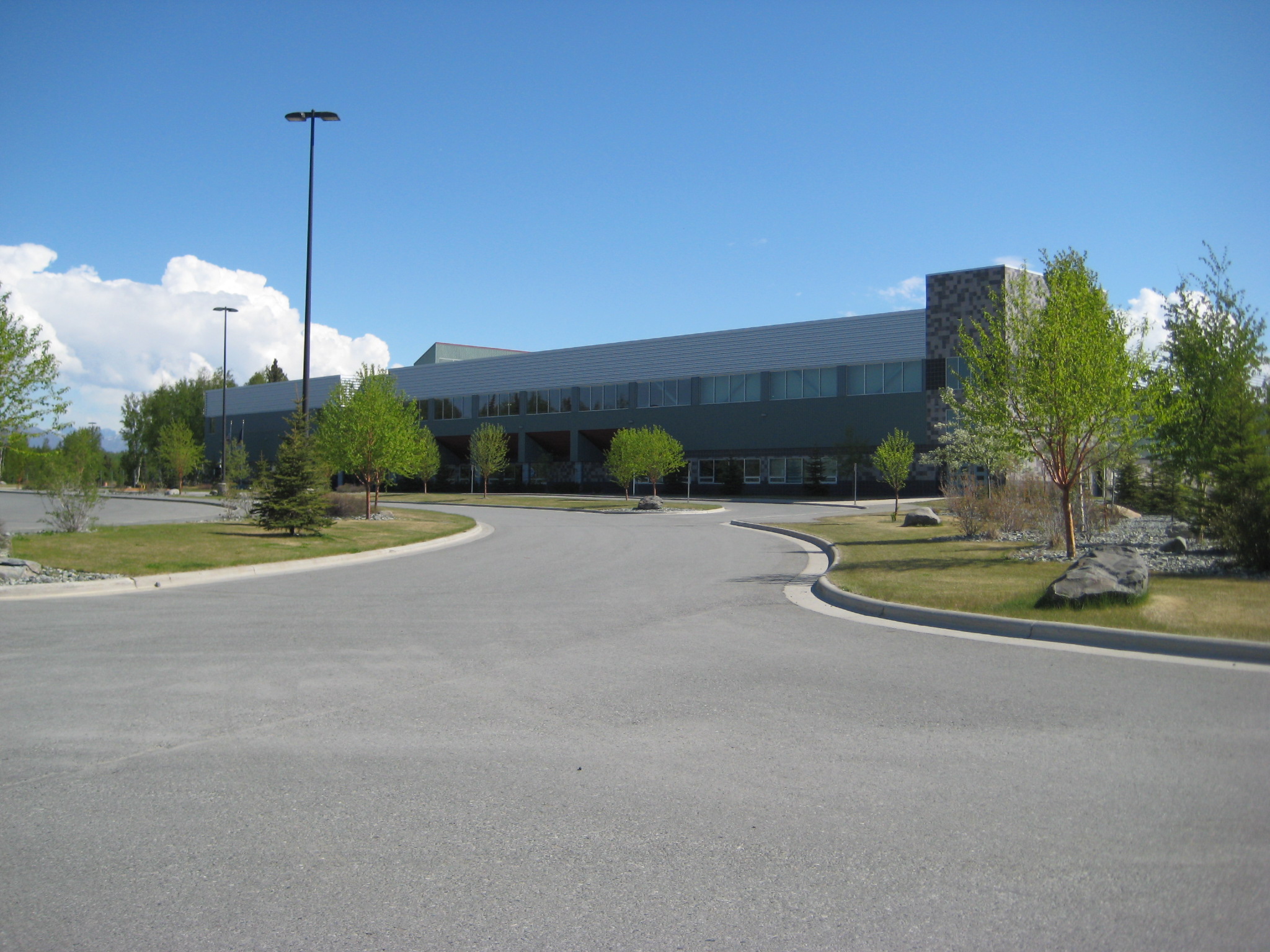
Picture 3: Sarah Palin built this $15 million ice rink and sports complex
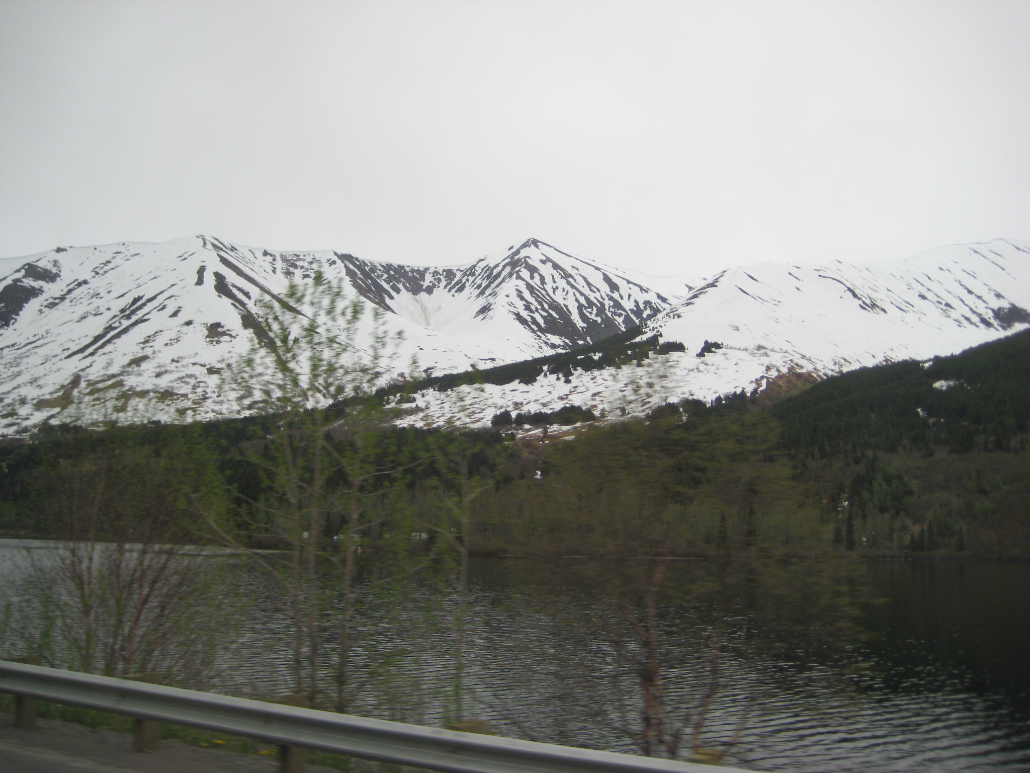
Picture 4:
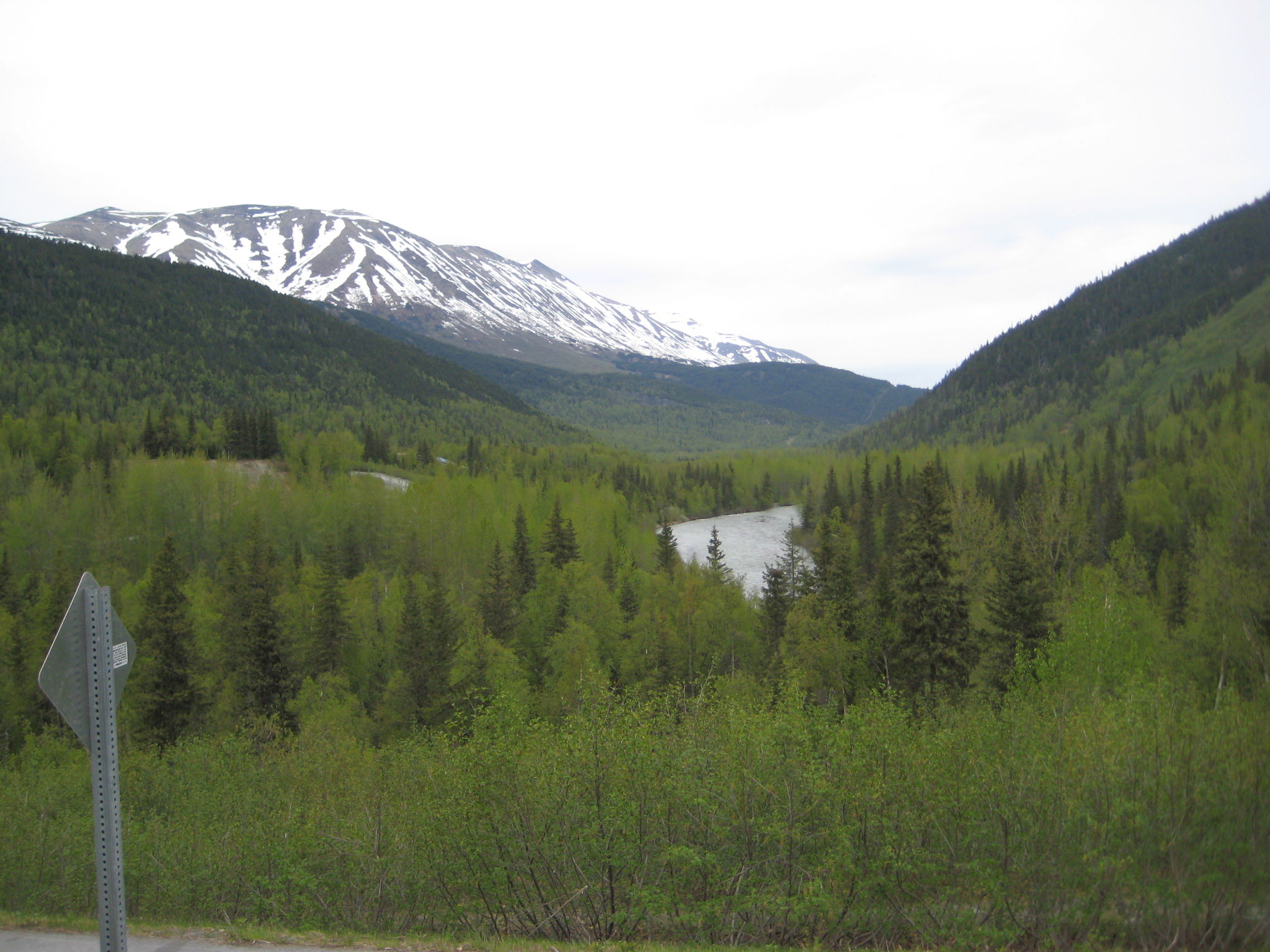
Picture 5:
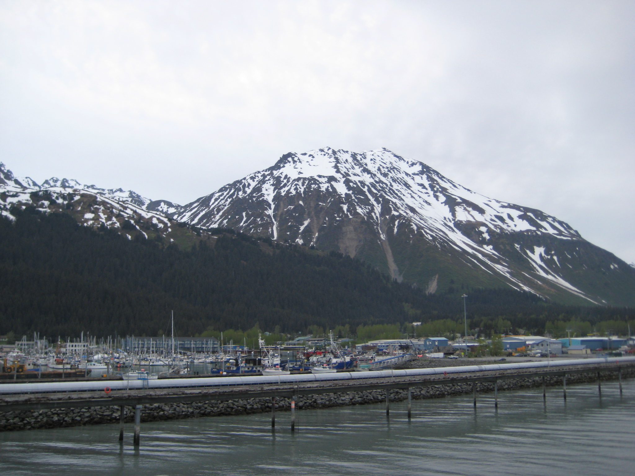
Picture 5: Port of Seward
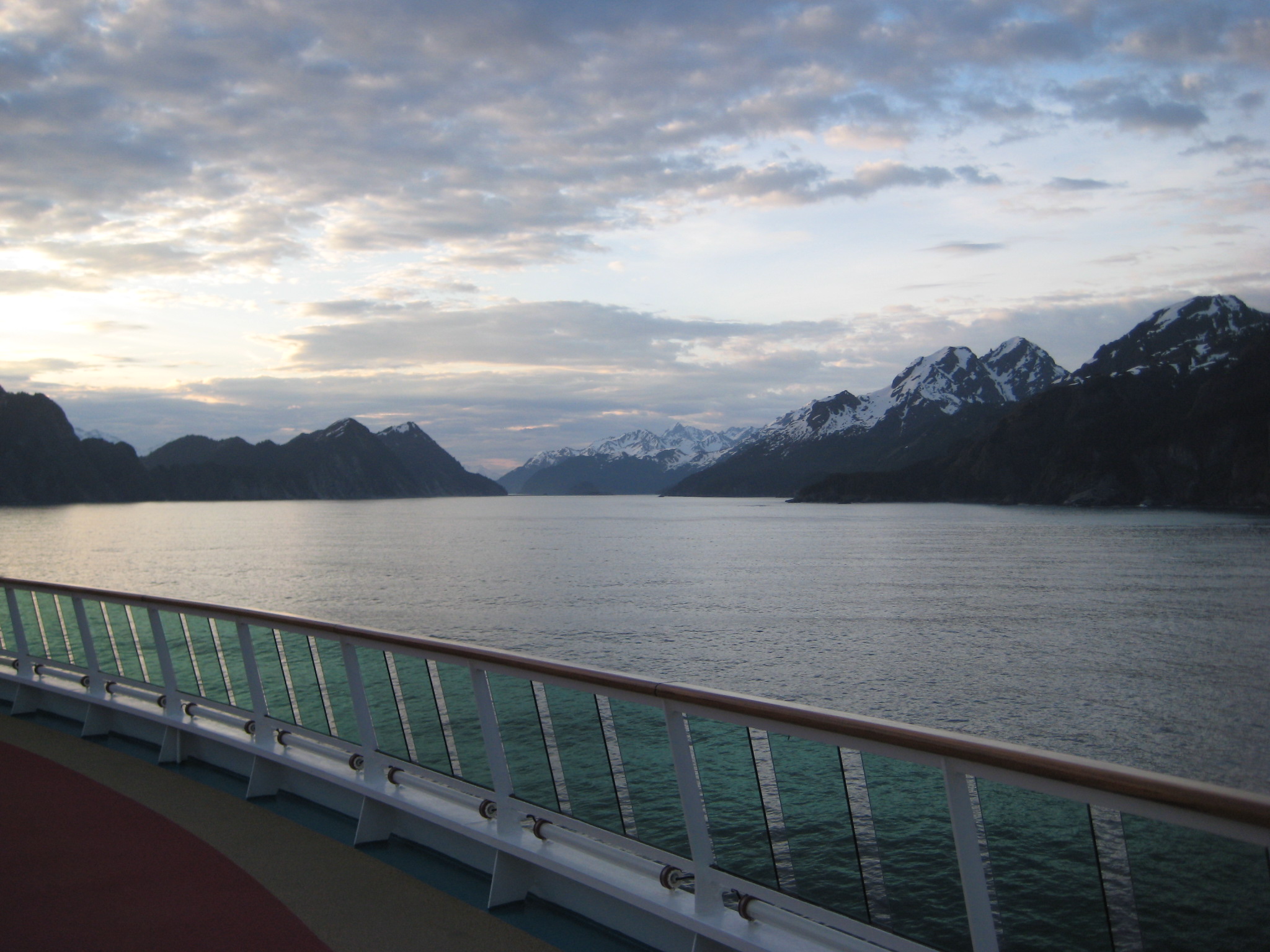
Picture 6: Leaving Port
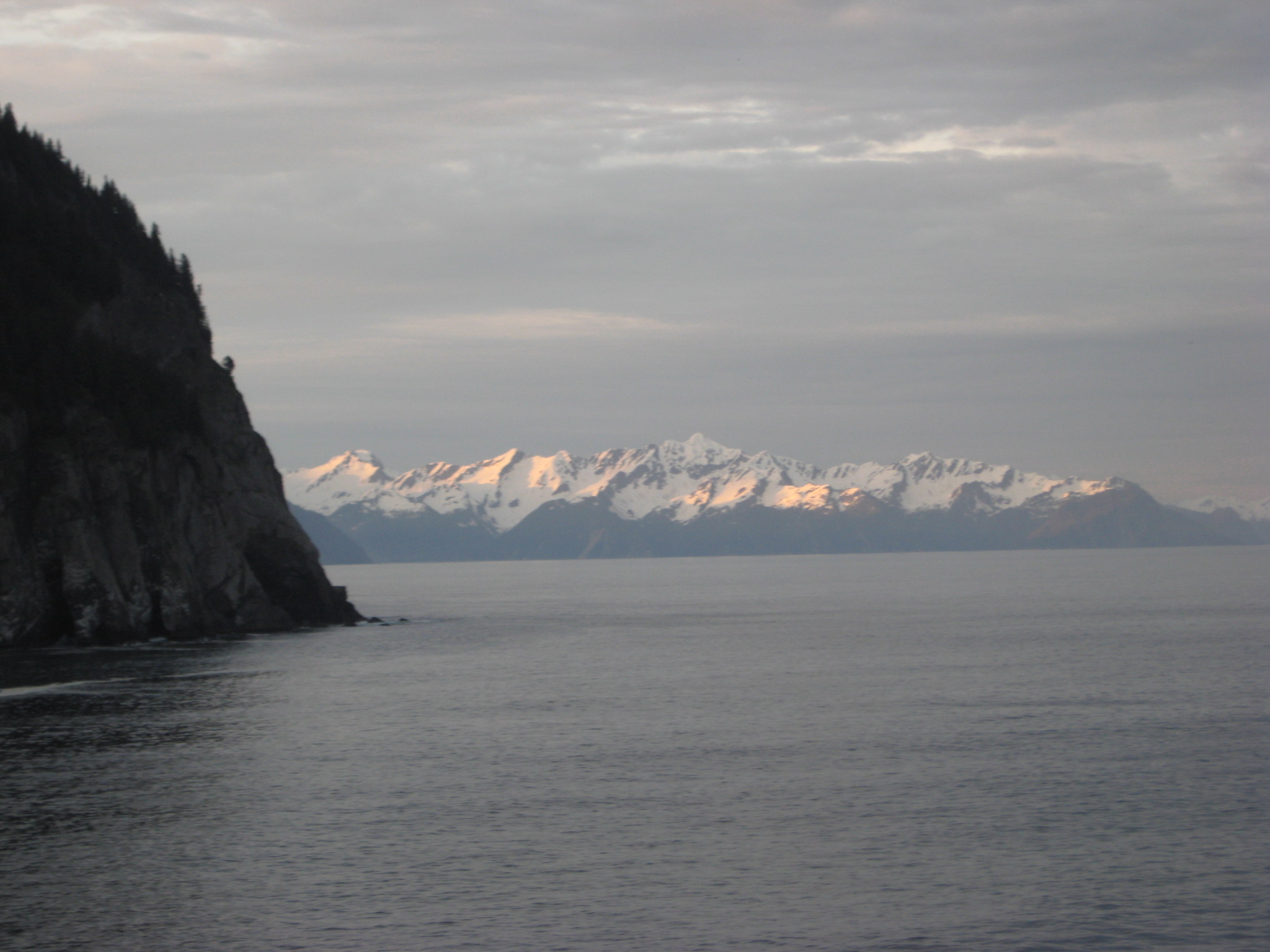
Picture 7:
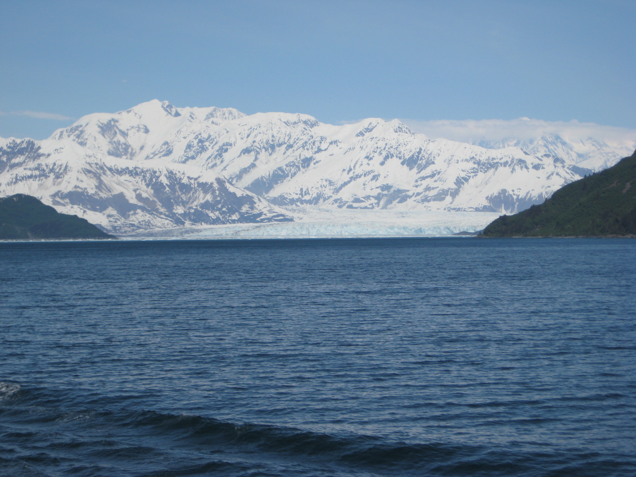
Picture 8: Hubbard Glacier
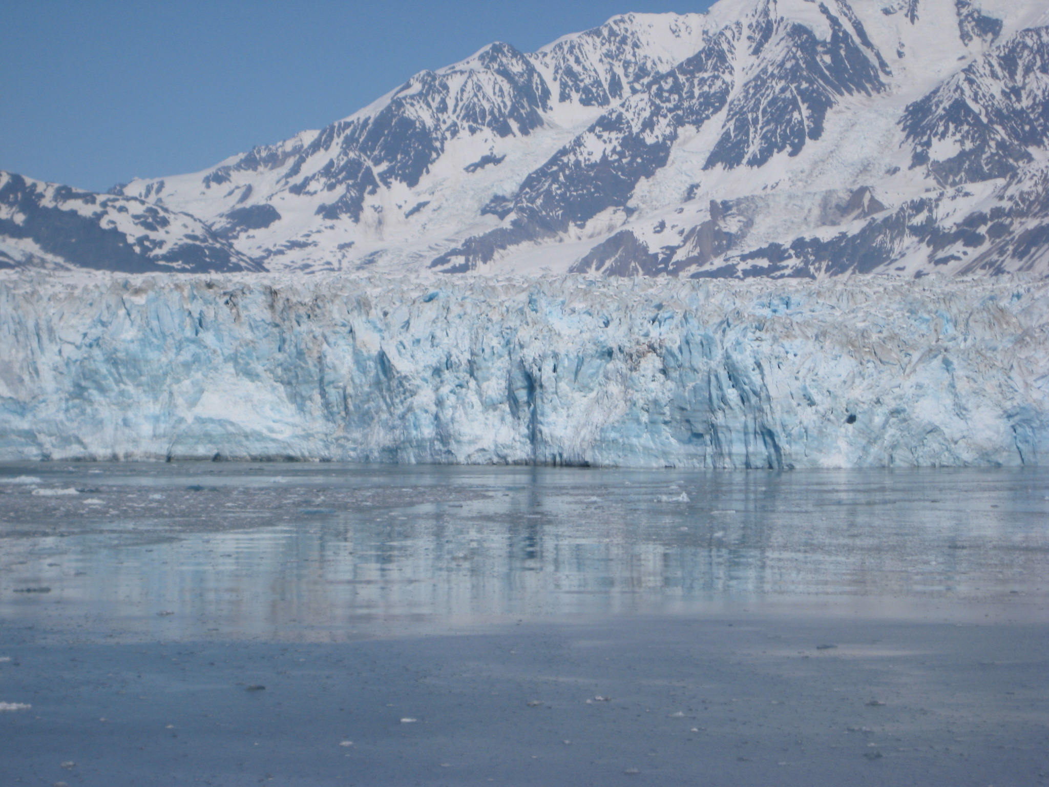
Picture 9: Face of Hubbard Glacier
Radiance of the Seas Go to pictures of Juneau, Skagway, Icy Strait Point, Ketchican, click here
![[Retire Early]](retire.gif)